Kurmangazy, Atyrau Region
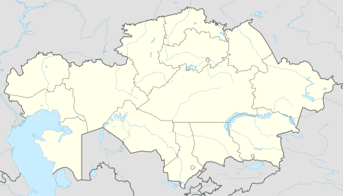
Kurmangazy (Kazakh: Құрманғазы, Qurmanǵazy, قۇرمانعازى), before 2018 Ganyushkino (Kazakh: Ганюшкин, Ganıýshkın, گانيۇشكٸن; Russian: Ганюшкино, Ganyushkino) is the administrative center of the Kurmangazy District, Atyrau Region, Kazakhstan. Kurmangazy is situated at 46°38'N, 49°08'E with an elevation of −23 m (−75 ft). Kurmangazy is in the west of Atyrau and close to the north shore of the Caspian Sea and the Kazakh-Russian border. It is in the area west of the Ural River and thus in the European part of Kazakhstan. Population: 12,750 (2009 Census results);[1] 12,419 (1999 Census results).[1]
Kurmangazy Құрманғазы Qurmanǵazy قۇرمانعازى | |
|---|---|
 Kurmangazy Location in Kazakhstan | |
| Coordinates: 46°36′00″N 49°16′00″E | |
| Country | Kazakhstan |
| Region | Atyrau Region |
| Elevation | -23 m (-75.5 ft) |
| Population | |
| • Total | 13 400 |
| • Summer (DST) | +5 |
References
- "Население Республики Казахстан" (in Russian). Департамент социальной и демографической статистики. Retrieved 8 December 2013.
External links
Capital: Atyrau | ||
| Districts | 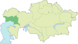 | |
| Major cities | ||
| Towns and villages |
| |
This article is issued from Wikipedia. The text is licensed under Creative Commons - Attribution - Sharealike. Additional terms may apply for the media files.