Kráľová nad Váhom
Kráľová nad Váhom (Hungarian: Vágkirályfa) is a village and municipality in Šaľa District, in the Nitra Region of southwest Slovakia.
Kráľová nad Váhom Vágkirályfa | |
|---|---|
village | |
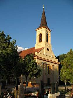 Church of Saint Elisabeth | |
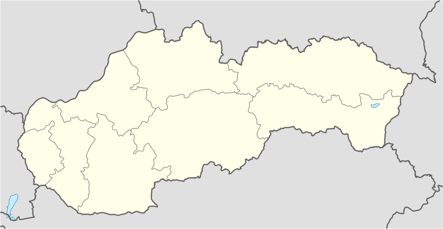 Kráľová nad Váhom Location in Slovakia | |
| Coordinates: 48°10′08″N 17°50′39″E | |
| Country | Slovakia |
| Region | Nitra |
| District | Šaľa |
| First mentioned | 1237 |
| Government | |
| • Mayor | Ferenc Bergendi |
| Area | |
| • Total | 9.51 km2 (3.67 sq mi) |
| Elevation | 117 m (384 ft) |
| Population (2011) | |
| • Total | 1,701 |
| • Density | 180/km2 (460/sq mi) |
| Time zone | UTC+1 (CET) |
| • Summer (DST) | UTC+2 (CEST) |
| Postal code | 925 91 |
| Area code(s) | +421-31 |
| Car plate | SA |
| Website | http://www.kralovanadvahom.sk/ |
History
In historical records the village was first mentioned in 1113. After the Austro-Hungarian army disintegrated in November 1918, Czechoslovak troops occupied the area, later acknowledged internationally by the Treaty of Trianon. Between 1938 and 1945 Kráľová nad Váhom once more became part of Miklós Horthy's Hungary through the First Vienna Award. From 1945 until the Velvet Divorce, it was part of Czechoslovakia. Since then it has been part of Slovakia.
Population
According to the 2011 census, the municipality had 1,691 inhabitants. 1,149 of inhabitants were Hungarians, 485 Slovaks and 55 others and unspecified.[1]
References
- "Archived copy" (PDF). Archived from the original (PDF) on November 14, 2012. Retrieved August 10, 2012.CS1 maint: archived copy as title (link)
External links
Municipalities of Šaľa District | ||
|---|---|---|
| Authority control |
|
|---|
This article is issued from Wikipedia. The text is licensed under Creative Commons - Attribution - Sharealike. Additional terms may apply for the media files.