Koundara
Koundara is a town in northwestern Guinea. It is the capital of Koundara Prefecture. The town is served by Sambailo Airport. As of 2014 it had a population of 27,433 people.[1]
Koundara | |
|---|---|
Sub-prefecture and town | |
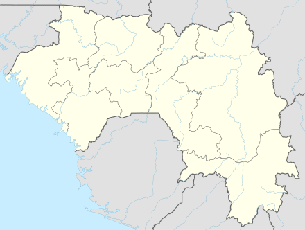 Koundara Location in Guinea | |
| Coordinates: 12°29′N 13°18′W | |
| Country | |
| Region | Boké Region |
| Prefecture | Koundara Prefecture |
| Population (2014 census) | |
| • Total | 27,433 |
Climate
Koundara has a tropical savanna climate (Köppen climate classification Aw).
| Climate data for Koundara | |||||||||||||
|---|---|---|---|---|---|---|---|---|---|---|---|---|---|
| Month | Jan | Feb | Mar | Apr | May | Jun | Jul | Aug | Sep | Oct | Nov | Dec | Year |
| Average high °C (°F) | 34.2 (93.6) |
36.5 (97.7) |
38.4 (101.1) |
39.3 (102.7) |
38.1 (100.6) |
33.9 (93.0) |
31.1 (88.0) |
30.6 (87.1) |
31.2 (88.2) |
32.3 (90.1) |
33.3 (91.9) |
33.7 (92.7) |
34.4 (93.9) |
| Average low °C (°F) | 16.7 (62.1) |
19.4 (66.9) |
22.1 (71.8) |
24.1 (75.4) |
24.9 (76.8) |
23.6 (74.5) |
22.3 (72.1) |
22.4 (72.3) |
22.3 (72.1) |
22.7 (72.9) |
20.2 (68.4) |
15.7 (60.3) |
21.4 (70.5) |
| Average rainfall mm (inches) | 0.0 (0.0) |
0.2 (0.01) |
0.3 (0.01) |
1.8 (0.07) |
49.2 (1.94) |
137.2 (5.40) |
250.1 (9.85) |
305.1 (12.01) |
262.7 (10.34) |
82.2 (3.24) |
9.2 (0.36) |
0.1 (0.00) |
1,098.1 (43.23) |
| Average rainy days | 0 | 1 | 1 | 1 | 3 | 10 | 14 | 17 | 17 | 6 | 1 | 1 | 72 |
| Source: World Meteorological Organization[2] | |||||||||||||
References
- "Guinea". Institut National de la Statistique, Guinea, accessed via Geohive. Archived from the original on 24 November 2015. Retrieved 27 August 2014.
- "World Weather Information Service — Koundara". World Meteorological Organization. Retrieved October 19, 2015.
Capital: Koundara | ||
| Sub-prefectures | 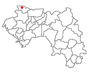 | |
This article is issued from Wikipedia. The text is licensed under Creative Commons - Attribution - Sharealike. Additional terms may apply for the media files.