Kopawa
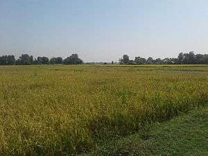
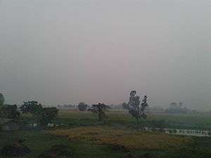
Kopawa is a village development committee in Kapilvastu District in the Lumbini Zone of southern Nepal. At the time of the 1991 Nepal census it had a population of 7269 people living in 1142 individual households.Now from 2073 B.S kopawa is mixed with Banganga municipality ward no. 11 . [1]
Kopawa कोपवा | |
|---|---|
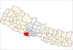
 Kopawa Location in Nepal | |
| Coordinates: 27.66°N 83.12°E | |
| Country | |
| Zone | Lumbini Zone |
| District | Kapilvastu District |
| Population (2011 A.D) | |
| • Total | 10,530 |
| Time zone | UTC+5:45 (Nepal Time) |
At the time 2011 A.D total population of Kopawa V.D.C was 10,530 . Male=4,889 Female=5,641 and total number of Household=2,142 Data Source :Central Bureau of Statistics government of Nepal .
Villages of Kopawa V.D.C
Kopawa, Semarkhor, Aurahiya, Baidauli, Suthauli, Bankasiya, Amauli, Laxmanghaat, Jhanda, Madhauliya, Maateria, Manohrapur, Partidanda, bhaglapur
Government offices in Kopawa
There are several government offices like wise 1. Kopawa V.D.C office 2. Post office 3. police station 4. Health post 5. Agriculture office 6.mahendra higher secondary school
Available services
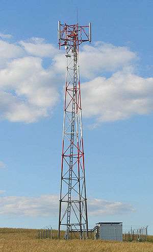
3G Network of Nepal Telecom and Ncell Pitched Road, Electricity, Health services, Private bank, Schools college ( shree mahendra higher secondary school kopawa ) ( shree antarrastriya yuva barsa primary school semalkhor ) ( annapurna vidhya Mandir kopawa )
Clean water available and so on .
References
- "Nepal Census 2001". Nepal's Village Development Committees. Digital Himalaya. Archived from the original on October 12, 2008. Retrieved 14 December 2008.
Headquarters: Kapilvastu Municipality | ||
| Municipalities |
|  |
| Rural municipalities |
| |
| Former VDCs |
| |
List of municipalities and rural municipalities of Nepal | ||