Konya Plain
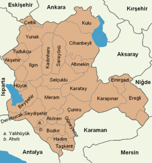
The Konya Plain is a plain in the Central Anatolia Region of Turkey, associated with the Konya Province. It is a flat plain (a height of 900–1050 m) that covers the majority of Konya Basin and constitutes the main part of the Central Anatolian Plateau.
The plain is one of the driest areas in Turkey. To alleviate it, a major irrigational Konya Plain Project was launched in 2012. The project includes 14 irrigation, three potable water and one energy investments, including the Blue Tunnel Project and the Bagbasi Dam.[1]
The plain is of considerable archaeological interest, including an important neolithic archaeological site of Çatalhöyük is located within the plain.[2]
Archaeology
Oriental Institute archaeologists unearthed a lost ancient kingdom dating to 1400 B.C to 600 B.C near the Türkmen-Karahöyük site in 2020 which might be connected to Tarḫuntašša, and its king Hartapu. The script written in Luwian Hieroglyphs about Hartapu's victory over Phrygia translated by OI scholars was discovered in 2019 by University of Chicago and Konya Regional Archaeological Survey Project.[3][4][5]
References
- "Pm Erdogan: Konya Plain Project biggest investment after GAP". Anadolu Agency. Konya. 16 December 2012. Retrieved 25 January 2018.
- "Konya Plain Survey, Central Anatolia". Department of Archaeology, Classics and Egyptology of the University of Liverpool. Retrieved 25 January 2018.
- "Archaeologists discover lost city that may have conquered the kingdom of Midas". phys.org. Retrieved 2020-06-28.
- "Oriental Institute archaeologists help discover lost kingdom in ancient Turkey". University of Chicago News. Retrieved 2020-06-28.
- "VICE - Archaeologists Have Discovered a Lost Ancient Kingdom in Turkey". www.vice.com. Retrieved 2020-06-28.