Kolodiivka, Khmelnytskyi Oblast
Kolodiivka (Ukrainian: Колодіївка) is a village in the Kamianets-Podilskyi Raion (district) of Khmelnytskyi Oblast in western Ukraine. The village's population was 1,042 as of the 2001 Ukrainian census.[2]
Kolodiivka Колодіївка | |
|---|---|
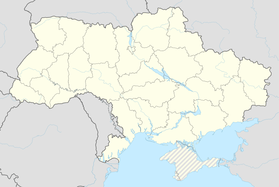 Kolodiivka Location of Kolodiivka in Khmelnytskyi Oblast | |
| Coordinates: 48°36′53″N 26°55′11″E | |
| Country | |
| Region | Khmelnytskyi Oblast |
| District | Kamianets-Podilskyi Raion |
| Area | |
| • Total | 4.082 km2 (1.576 sq mi) |
| Elevation | 273 m (896 ft) |
| Population (2001) | |
| • Total | 1,042 |
| • Density | 260/km2 (660/sq mi) |
| Time zone | UTC+2 (EET) |
| • Summer (DST) | UTC+3 (EEST) |
| Postal code | 32398 |
| Area code | +380 3849 |
| Website | http://rada.gov.ua/ |
It is located in the southernmost portion of the oblast on the Dnister River at an elevation of 273 m (896 ft).[1] The village maintains its own local government as the Kolodiivka Rural Council (Ukrainian: Колодіївська сільська рада), which consists of 21 locally elected deputies.[2]
References
- "Kolodiivka (Khmelnytskyi Oblast, Kamianets-Podilskyi Raion)". weather.in.ua. Retrieved 6 January 2015.
- "Village of Kolodiivka, Kamianets-Podilskyi Raion, Khmelnytskyi Oblast". Regions of Ukraine and their Structure (in Ukrainian). Verkhovna Rada of Ukraine. Retrieved 6 January 2015.
| Urban-type settlements | Coat of arms of Kamianets-Podilskyi Raion | |
|---|---|---|
| Rural councils |
| |
This article is issued from Wikipedia. The text is licensed under Creative Commons - Attribution - Sharealike. Additional terms may apply for the media files.