Kolodiivka, Ivano-Frankivsk Oblast
Kolodiivka (Ukrainian: Колодіївка, Polish: Kołodziejówka) is a village in the Tysmenytsia Raion (district) of Ivano-Frankivsk Oblast in western Ukraine. The village's population was 571 as of the 2001 Ukrainian census.[2]
Kolodiivka Колодіївка | |
|---|---|
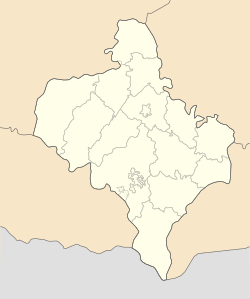 Kolodiivka Location of Kolodiivka in Ivano-Frankivsk Oblast | |
| Coordinates: 48°58′44″N 24°46′02″E | |
| Country | |
| Region | Ivano-Frankivsk Oblast |
| District | Tysmenytsia Raion |
| Founded | 12th century |
| Area | |
| • Total | 8.93 km2 (3.45 sq mi) |
| Elevation | 301 m (988 ft) |
| Population (2001) | |
| • Total | 571 |
| • Density | 64/km2 (170/sq mi) |
| Time zone | UTC+2 (EET) |
| • Summer (DST) | UTC+3 (EEST) |
| Postal code | 77435 |
| Area code | +380 3436 |
| Website | http://rada.gov.ua/ |
The settlement was first founded in the 12th century as Fedkovo (Ukrainian: Федьково); in 1466, the village was renamed to its current name, Kolodiivka.[2]
It is located in the northern portion of the oblast on the Bystrytsia Solotvynska River at an elevation of 301 m (988 ft).[1] The village maintains its own local government as the Kolodiivka Village Council (Ukrainian: Колодіївська сільська рада), which consists of 16 locally elected deputies.[2]
References
- "Kolodiivka (Ivano-Frankivsk Oblast, Tysmenytsia Raion)". weather.in.ua. Retrieved 6 January 2015.
- "Village of Kolodiivka, Tysmenytsia Raion, Ivano-Frankivsk Oblast". Regions of Ukraine and their Structure (in Ukrainian). Verkhovna Rada of Ukraine. Archived from the original on 4 March 2016. Retrieved 6 January 2015.
| Cities | Coat of arms of Tysmenytsia Raion | |
|---|---|---|
| Urban-type settlements | ||
| Rural councils |
| |
This article is issued from Wikipedia. The text is licensed under Creative Commons - Attribution - Sharealike. Additional terms may apply for the media files.