Kikori
Kikori lies in the delta of the Kikori River at the head of the Gulf of Papua. This area is particularly biologically rich with a diversity of ecosystems and densely forested, with an intricate system of rivers. The geography is that of limestone karst country, with clay type soils. Oil exploitation in Kikori has been operating for several years. Its first commercial oil deposits were found there by the Kutubu Joint Venture (KJV) which has since constructed a pipeline to the Gulf of Papua and is actively extracting oil from the region.[2]
Kikori | |
|---|---|
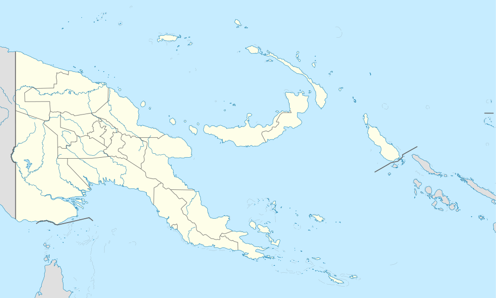 Kikori Location within Papua New Guinea | |
| Coordinates: 7°25′S 144°14′E | |
| Country | Papua New Guinea |
| Province | Gulf Province |
| LLG | Kikori District |
| Elevation | 12 m (39 ft) |
| Time zone | UTC+10 (AEST) |
| Location | |
| Mean min temp | 22 °C (72 °F) |
| Annual rainfall | 5,840 mm (229.9 in) |
| Climate | Af |
Kikori is a settlement in Papua New Guinea.[1]
It has an average annual rainfall of about 584 centimetres(230 inches).[3] It is the site of Kikori Airport. Kikori experiences dry season from November to March, wet season from June to September and receives an annual rainfall of 5,840 mm (Goarebari weather station)
Notes
- Merriam Webster's Geographical Dictionary, Third Edition, p. 592
- "Kikori Basin, Papua New Guinea". WWF Panda. Retrieved July 10, 2010.
- Merriam Webster's Geographical Dictionary, Third Edition, p. 592
References
- Merriam Webster's Geographical Dictionary, Third Edition. Springfield, Massachusetts: Merriam-Webster, Incorporated, 1997. ISBN 0-87779-546-0.