Kensington, Western Australia
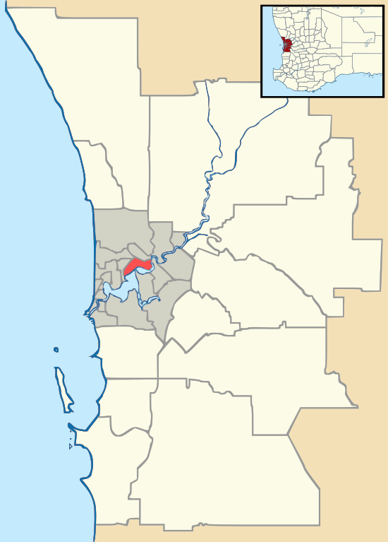
Kensington is a residential suburb 3 km from Perth's central business district. Kensington is located within the City of South Perth local government area.
| Kensington Perth, Western Australia | |||||||||||||||
|---|---|---|---|---|---|---|---|---|---|---|---|---|---|---|---|
 Kensington | |||||||||||||||
| Coordinates | 31.9825°S 115.884444°E | ||||||||||||||
| Population | 4,525 (2016 census)[1] | ||||||||||||||
| Postcode(s) | 6151 | ||||||||||||||
| Location | 3 km (2 mi) from Perth | ||||||||||||||
| LGA(s) | City of South Perth | ||||||||||||||
| State electorate(s) | South Perth, Victoria Park | ||||||||||||||
| Federal Division(s) | Swan | ||||||||||||||
| |||||||||||||||
Kensington was named after the former Kensington Park Racecourse, which was most likely named after William Samuel Cox's Kensington Park Racecourse, in Melbourne.[2] The suburb is bounded by Canning Highway to the west, Berwick Street to the north, Kent Street to the east, and Hayman Road and South Terrace to the south.
Senior and tertiary education
Kensington contains Wesley College's playing fields at Morris Mundy Reserve. It borders Technology Park Bentley and Curtin University, named after former Australian prime minister John Curtin. Kensington also contains Kensington Primary School.
References
- Australian Bureau of Statistics (27 June 2017). "Kensington (WA) (State Suburb)". 2016 Census QuickStats. Retrieved 19 April 2018.

- "Kensington Park Races". The Argus. Melbourne. 12 October 1874. p. 6. Retrieved 27 January 2017.
This article is issued from Wikipedia. The text is licensed under Creative Commons - Attribution - Sharealike. Additional terms may apply for the media files.