Kanowna, Western Australia
Kanowna is a ghost town in the Goldfields region of Western Australia, about 20 kilometres (12 mi) east of Kalgoorlie. It is sited on Maduwongga tribal lands. At the 2016 census, Kanowna had a population of 10 people.[2]
| Kanowna Western Australia | |
|---|---|
 Kanowna | |
| Coordinates | 30.61°S 121.60°E |
| Population | 10 (2016 census)[1] |
| Established | 1894 |
| Postcode(s) | 6431 |
| Elevation | 377 m (1,237 ft) |
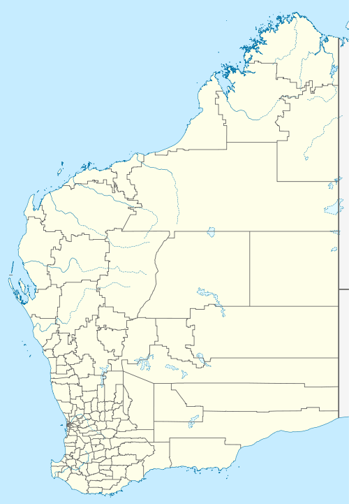
| Location |
|
| LGA(s) | Kalgoorlie-Boulder |
| State electorate(s) | Kalgoorlie |
| Federal Division(s) | O'Connor |
After the discovery of gold in the area in 1893, the townsite was gazetted in 1894.[3] and the population grew from 2,500 in 1897 to over 12,500 by 1899.[4] However, the alluvial gold supply was rapidly exhausted and underground mines following the outcropping vein produced decreasing amounts of gold, resulting in a slow but steady decrease in the population. The railway station was closed during the Great Depression, and by 1953 the town had been abandoned. The railway station platform, two cemeteries and mine workings are all that is left of the original town of Kanowna. Signs erected by the Kalgoorlie Historical society mark the sites of significant buildings.
Increasing gold prices in the late 1970s sparked renewed interest in exploring the geology of the area for new sources of gold. The discovery of a large amount of gold, previously undiscovered because the vein did not reach the surface, made gold mining in the region economically viable again. Mining recommenced in 1986, initially as open-cut mining, before moving to underground mines. As of 2002, the Kanowna Belle mine employed more than 300 people.
It formerly had its own local government: the Municipality of Kanowna (1896-1917) represented the township proper and the North East Coolgardie Road District (1896-1922) represented the surrounding area. The municipality merged into the road district in 1917, at which time the road district was renamed Kanowna.
See also
References
- Australian Bureau of Statistics (27 June 2017). "Kanowna (State Suburb)". 2016 Census QuickStats. Retrieved 18 March 2018.

- ABS
- Western Australian Land Information Authority. "History of country town names – K". Retrieved 16 November 2010.
- "Morowa District Historical Society" (PDF). 2009. Archived from the original (PDF) on 12 March 2011. Retrieved 16 November 2010.
Further reading
- Laurie, Kris (Kristien Elizabeth) (1993) Kanowna heritage trail : commemorating Kanowna's centenary, 1893–1993. Kalgoorlie, W.A : Kalgoorlie-Boulder Tourist Centre for Delta Gold N.L.