Kamenec pod Vtáčnikom
Kamenec pod Vtáčnikom (Hungarian: Kemenec) is a village and municipality in Prievidza District in the Trenčín Region of western Slovakia. It includes the former separate villages Horny Kamenec and Dolny Kamenec.
Kamenec pod Vtáčnikom | |
|---|---|
Municipality | |
 All Saints' Church | |
 Kamenec pod Vtáčnikom Location of Kamenec pod Vtáčnikom in the Trenčín Region 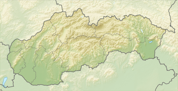 Kamenec pod Vtáčnikom Location of Kamenec pod Vtáčnikom in Slovakia | |
| Coordinates: 48°40′17″N 18°32′50″E | |
| Country | |
| Region | Trenčín |
| District | Prievidza |
| First mentioned | 1355 |
| Area | |
| • Total | 25.298 km2 (9.768 sq mi) |
| Elevation | 275 m (902 ft) |
| Population | |
| • Total | 1,861 |
| • Density | 74/km2 (190/sq mi) |
| Postal code | 972 44 |
| Area code(s) | 421-46 |
| Car plate | PD |
| Website | www.kamenec.sk |
History
In historical records the village was first mentioned in 1355.
Geography
The municipality lies at an altitude of 275 metres and covers an area of 25.298 km². It has a population of about 1861 people.
Genealogical resources
The records for genealogical research are available at the state archive "Statny Archiv in Nitra, Slovakia"
- Roman Catholic church records (births/marriages/deaths): 1777-1905 (parish A)
- Lutheran church records (births/marriages/deaths): 1735-1950 (parish B)
External links

- Official website

- https://web.archive.org/web/20070513023228/http://www.statistics.sk/mosmis/eng/run.html
- Surnames of living people in Kamenec pod Vtacnikom
This article is issued from Wikipedia. The text is licensed under Creative Commons - Attribution - Sharealike. Additional terms may apply for the media files.