Kamarang Airport
Kamarang Airport (IATA: KAR, ICAO: SYKM) is an airport serving the town of Kamarang, in the Cuyuni-Mazaruni Region of Guyana.
Kamarang Airport | |||||||||||
|---|---|---|---|---|---|---|---|---|---|---|---|
| Summary | |||||||||||
| Serves | Kamarang | ||||||||||
| Elevation AMSL | 1,601 ft / 488 m | ||||||||||
| Coordinates | 5°51′55″N 60°36′50″W | ||||||||||
| Map | |||||||||||
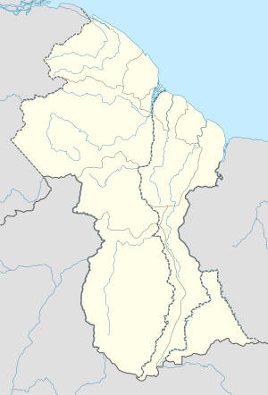 KAR Location in Guyana | |||||||||||
| Runways | |||||||||||
| |||||||||||
The Kamarang non-directional beacon (Ident: KAM) is 2 kilometres (1.2 mi) north of the field.
It appears that the runway has been paved but that is not yet shown by Google Earth (on 19-Dec-2016). According to other sources on the Internet, the paved runway (asphalt) is 1220 metres long (4000') by 18 metres wide (60").
See also

- List of airports in Guyana
- Transport in Guyana
References
- Google Maps - Kamarang
- Airport information for KAR at Great Circle Mapper.
External links
This article is issued from Wikipedia. The text is licensed under Creative Commons - Attribution - Sharealike. Additional terms may apply for the media files.