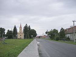
Kalná nad Hronom
Kalná nad Hronom (Hungarian: Kálna) is a village and municipality in the Levice District in the Nitra Region of Slovakia.
Kalná nad Hronom | |
|---|---|
Village | |
 | |
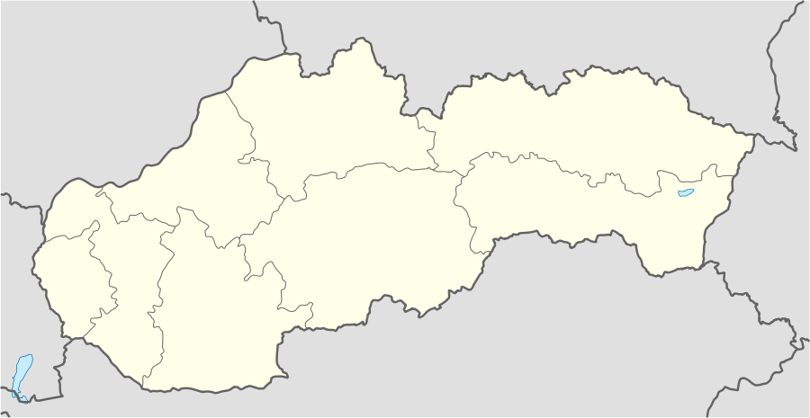 Kalná nad Hronom Location of Kalná nad Hronom in Slovakia | |
| Coordinates: 48°12′21″N 18°31′45″E | |
| Country | Slovakia |
| Region | Nitra |
| District | Levice |
| First mentioned | 1209 |
| Area | |
| • Total | 34.13 km2 (13.18 sq mi) |
| Elevation | 160 m (520 ft) |
| Population (2006-12-6) | |
| • Total | 2,073 |
| • Density | 61/km2 (160/sq mi) |
| Postal code | 935 32 |
| Area code(s) | +421-36 |
| Car plate | LV |
History
In historical records the village was first mentioned in 1209.
Ethnicity
Kalná nad Hronom has a population of about 2,048 people. The village is approximately 77% Slovak, 17% Magyar and 6% Czech.
Government
The village has its own birth registry and police force.
Facilities
The village has a public library a gym and football pitch an.
Genealogical resources
The records for genealogical research are available at the state archive "Statny Archiv in Nitra, Slovakia"
- Roman Catholic church records (births/marriages/deaths): 1726-1896 (parish A)
- Reformated church records (births/marriages/deaths): 1790-1898 (parish A)
External links
| Authority control |
|
|---|
This article is issued from Wikipedia. The text is licensed under Creative Commons - Attribution - Sharealike. Additional terms may apply for the media files.