Kaldafjellet
Kaldafjellet is a mountain on the border of Aust-Agder and Rogaland counties in southern Norway. The mountain lies on the border of the municipality of Suldal (in Rogaland county) and the municipality of Bykle (in Aust-Agder county). The mountain has two peaks: the eastern one lies on the municipal-county border reaching 1,452 metres (4,764 ft), while the highest point on the mountain lies less than 1 kilometre (0.62 mi) to the west, reaching a peak of 1,480 metres (4,860 ft). The prominence of the mountain is 210 metres (690 ft) and the isolation is 4.2 kilometres (2.6 mi).
| Kaldafjellet | |
|---|---|
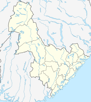 Kaldafjellet Location of the mountain  Kaldafjellet Kaldafjellet (Rogaland)  Kaldafjellet Kaldafjellet (Norway) | |
| Highest point | |
| Elevation | 1,480 m (4,860 ft) |
| Prominence | 210 m (690 ft) |
| Isolation | 4.2 km (2.6 mi) |
| Coordinates | 59.5234°N 06.9803°E [1] |
| Geography | |
| Location | Aust-Agder and Rogaland, Norway |
| Parent range | Setesdalsheiene |
The mountain sits about 17 kilometres (11 mi) southeast of the village of Nesflaten, just east of the mountain Steinkilenuten (in Suldal) and it is about 20 kilometres (12 mi) west of Hovden in Bykle. The lake Ormsavatnet lies just east of the mountain and the lake Holmevatnet.[2]
References
- "Kaldafjellet, Suldal (Rogaland)" (in Norwegian). yr.no. Retrieved 2017-03-14.
- Lauritzen, Per Roger, ed. (2009). "Kaldafjellet". Norsk Fjelleksikon (in Norwegian). Arendal: Friluftsforlaget. ISBN 9788291495477.