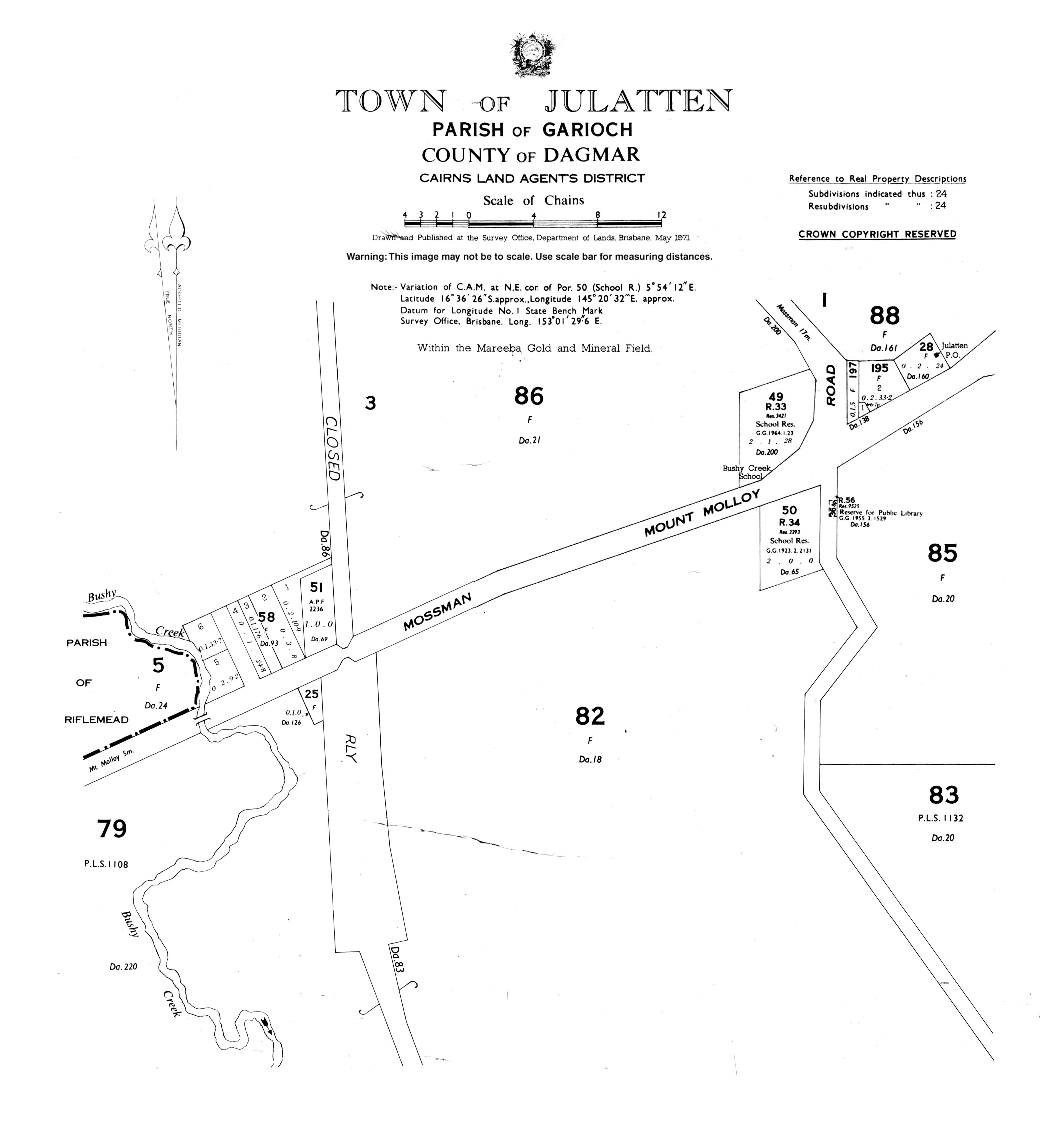
Julatten, Queensland
Julatten is a town and a locality in the Shire of Mareeba, Queensland, Australia.[1][2]
| Julatten Queensland | |||||||||||||||
|---|---|---|---|---|---|---|---|---|---|---|---|---|---|---|---|
.jpg) Lascar Abattoir Swamp, Julatten, 2008 | |||||||||||||||
 Julatten | |||||||||||||||
| Coordinates | 16.6069°S 145.3430°E | ||||||||||||||
| Postcode(s) | 4871 | ||||||||||||||
| Area | 161.7 km2 (62.4 sq mi) | ||||||||||||||
| LGA(s) | Shire of Mareeba | ||||||||||||||
| State electorate(s) | Cook | ||||||||||||||
| Federal Division(s) | |||||||||||||||
| |||||||||||||||
Geography
Julatten is on the eastern edge of the Atherton Tableland (about 450 metres above sea level). The steep north-eastern part of locality consists of protected areas being the Mount Lewis National Park and the Mowbray National Park.[3]
The Mossman - Mount Molloy Road traverses the locality from the north-east on the coastal plain up to the south-west passing through the area of Julatten on the tableland. Julatten is in fact a rural area rather than a township and produces sugar cane and beef cattle and has barramundi farms. [3]
History
The area, which was settled in the early 1920's and originally known as Bushy Creek, takes its name from the railway station, which in turn was named by the Queensland Railways Department and is an Aboriginal word meaning small creek. The railway was opened to Rumula on 5 December 1926.[1]
Bushy Creek State School opened on 27 August 1923. It was renamed Julatten State School in 1975.[4][5]
Education
Julatten State School is a co-educational primary (P-6) school operated by the Queensland Government at 1141 Euluma Creek Road. In 2016, the school had an enrolment of 69 students with 6 teachers (4 full-time equivalent) and 6 non-teaching staff (4 full-time equivalent).[6]
Attractions

Julatten is a good area to see Wet Topics bird species including endemic species.[7] On the ascent/descent of the range on the Mossman - Mount Molloy is the Lyons Lookout with a good view across the coastal areas to the east.[8]
References
- "Julatten - town in Shire of Mareeba (entry 17424)". Queensland Place Names. Queensland Government. Retrieved 30 September 2017.
- "Julatten - locality in Shire of Mareeba (entry 48686)". Queensland Place Names. Queensland Government. Retrieved 30 September 2017.
- "Queensland Globe". State of Queensland. Retrieved 2 October 2017.
- Queensland Family History Society (2010), Queensland schools past and present (Version 1.01 ed.), Queensland Family History Society, ISBN 978-1-921171-26-0
- "Opening and closing dates of Queensland Schools". Queensland Government. Retrieved 18 April 2019.
- "Annual Report 2016" (PDF). Julatten State School. Archived (PDF) from the original on 2 October 2017. Retrieved 2 October 2017.
- "Information on Birding in Tropical North Queensland". Birding Queensland. Archived from the original on 14 September 2017. Retrieved 2 October 2017.
- "Lyons Lookout - lookout in Shire of Mareeba (entry 20312)". Queensland Place Names. Queensland Government. Retrieved 2 October 2017.
External links
![]()