Javanshir Fortress
Javanshir Fortress is a defensive fortress located 4 km north of the village of Talystan in the Ismayilli region, on the right bank of Aghcachay.[1] The castle was built by the ruler Javanshir during the reign of Mehranids dynasty in the Caucasus Albania. The fortress is named after him. It is believed that the fortress was used as an administrative center.[2]
| Javanshir Fortress | |
|---|---|
Azerbaijani: Cavanşir qalası | |
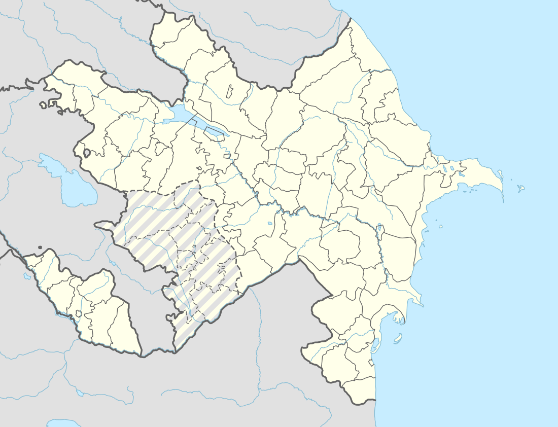 Location within Azerbaijan | |
| General information | |
| Type | Fortress |
| Architectural style | Architectural school of Caucasian Albania |
| Address | Lahij |
| Town or city | Ismailli |
| Country | |
| Coordinates | 40°48′07″N 48°11′59″E |
| Completed | VII century |
| Client | Javanshir |
| Technical details | |
| Material | Stone |
Structure
The fortress was constructed of lime and river stones. The area of the fortress is about 1.5 – 2 hectares. It consists of fortress and an inner fortress called Naringala. It is surrounded by valley of the Agchay river from three sides. The complex consists of the main part and Ichgala. The polygonal shaped Ichgala was built on the highest point of the mountain. In most places only basis of it remains. The walls of the Ichgala are demolished. Thickness of the southern wall of the main portion is 2 meters and its height is more than 10 meters. The western walls were completely destroyed by landslides. The defense complex includes 6 towers and their height are up to 8 meters.[1] At the northern end of the tower there is a wall with a width of 2 meters and a ledge length of 50 meters. The wall is completed with a cylinder-shaped tower. The entrance to the castle was only from the southern side. There was a gate place with 2.5 m width. There were comb-shaped merlons about 0.5 m from each other on top of the walls. Tower was built to strengthen walls of the castle.[2] Ichgala is in the northern part of the fortress. Towers are four-cornered on the south, and rounded on other sides. Some of their diameters reach 8 meters. The main surveillance point is located at the northern end of the fortress. There used to be a hidden path on the north-eastern side of the fortress. This gave opportunity to the fortress to communicate with outside during a blockade.[2]
The exact scheme of the it was first compiled by Professor, Doctor of Geographical Sciences, Ramazan Tarverdiyev in 1963.[3]
See also
References
- "Cavanşir qalası" (in Azerbaijani). portal.azertag.az. Archived from the original on 23 July 2018. Retrieved 19 February 2018.
- "Cavanşir qalası (İsmayıllı)" (in Azerbaijani). kataloq.gomap.az. Archived from the original on 21 February 2018. Retrieved 19 February 2018.
- "Tariximizin bu günədək gəlib çatan silinməz izi - Cavanşir qalası" (in Azerbaijani). azpress.az. Archived from the original on 31 October 2019. Retrieved 19 February 2018.