Jørgen Brønlund Fjord
Jørgen Brønlund Fjord is a fjord in southern Peary Land, northern Greenland.
| Jørgen Brønlund Fjord | |
|---|---|
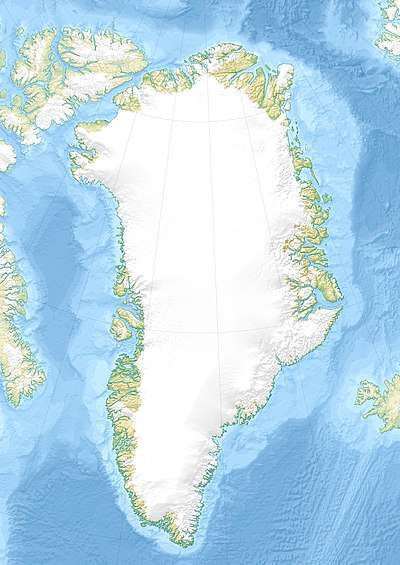 Jørgen Brønlund Fjord Location in Greenland | |
| Location | Arctic |
| Coordinates | 82°7′N 29°58′W |
| Ocean/sea sources | Independence Fjord Wandel Sea |
| Basin countries | Greenland |
| Max. length | 30 km (19 mi) |
| Max. width | 2 km (1.2 mi) |
It was named after polar explorer Jørgen Brønlund by the Danmark expedition.
Geography
It runs roughly from NW to SE with its mouth located at 82°7′N 29°58′W between Cape Harald Moltke to the east and Cape Knud Rasmussen to the west. It is about 30 km long and 1 to 2 km wide, and opens out to Independence Fjord in the south.[1]
Brønlundhus, a former research station, is located on the west side close to the mouth of the fjord, and Kap Harald Moltke, another similar facility, on the east side.
Brønlundhus was, until 1950, the northernmost radio outpost in the world.
The northern shore is the type locality of the Buen Formation.[2]
See also
References
- "Jørgen Brønlund Fjord". Mapcarta. Retrieved 29 July 2019.
- Lower Cambrian trilobites from North Greenland. ISBN 9788763512411.
This article is issued from Wikipedia. The text is licensed under Creative Commons - Attribution - Sharealike. Additional terms may apply for the media files.