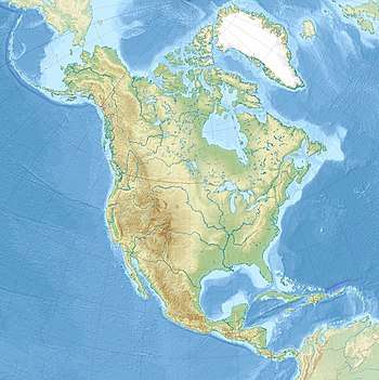
Izta-Popo Zoquiapan National Park
Izta-Popo Zoquiapan National Park[lower-alpha 1] is a national park in Mexico on the border of the states of México, Puebla, and Morelos. The park protects 39,819.08 hectares (98,395.1 acres),[1] surrounding Mexico's second- and third-highest peaks, the Popocatépetl and Iztaccíhuatl volcanoes (respectively 5,426 m (17,802 ft)[3] and 5,220–5,230 m (17,130–17,160 ft))[4][5][6] as well as the area of the Hacienda de Zoquiapán, and its annexed areas (anexas) of Zoquiapan, Ixtlahuacán, and the Frío de Juárez River.
| Iztaccíhuatl-Popocatépetl National Park | |
|---|---|
| Parque Nacional Iztaccíhuatl-Popocatépetl | |
IUCN category II (national park) | |
 Aerial view of Iztaccíhuatl (left) and Popocatépetl | |
  | |
| Location | México, Puebla, and Morelos, Mexico |
| Nearest city | Mexico City |
| Coordinates | 19°14′10″N 98°39′48″W |
| Area | 39,819.08 ha (98,395.1 acres)[1] |
| Established | November 8, 1935[2] |
| Governing body | National Commission of Protected Natural Areas (CONANP) |
History
The park was established on November 8, 1935,[2] and today is administered by the National Commission of Protected Natural Areas (CONANP), a federal agency of the Secretariat of Environment and Natural Resources.
See also
Notelist
- Also known in full as:
- "Iztaccíhuatl-Popocatépetl Zoquiapan National Park"
- "Iztaccíhuatl-Popocatépetl National Park" (Spanish: Parque Nacional Iztaccíhuatl-Popocatépetl)
- "Iztaccíhuatl-Popocatépetl, Zoquiapan and Anexas National Park"
References
- "Sistema de Información Geográfica". Comisión Nacional de Áreas Naturales Protegidas. Archived from the original on 27 October 2010. Retrieved 22 February 2011.
- "Parque Nacional Izta-Popo Zoquiapan". SIMEC: Sistema de Información, Monitoreo, y Evaluación para la Conservación (in Spanish). Comisión Nacional de Áreas Naturales Protegidas. 5 August 2016. Retrieved 10 October 2017.
- "Popocatépetl". Global Volcanism Program. Smithsonian Institution.
- "Iztaccíhuatl". Global Volcanism Program. Smithsonian Institution.
- "Elevaciones principales - Puebla" (in Spanish). Instituto Nacional de Estadística, Geografía e Informática. Archived from the original on 10 March 2012. Retrieved 17 March 2009.
- "Lo más y lo menos del territorio de México - Montañas (más altas)" (in Spanish). Instituto Nacional de Estadística, Geografía e Informática. Archived from the original on 3 March 2012. Retrieved 22 February 2009.
This article is issued from Wikipedia. The text is licensed under Creative Commons - Attribution - Sharealike. Additional terms may apply for the media files.