Inglaterra Airport
Inglaterra Airport (ICAO: SLIG) is an airstrip in the lightly populated pampa of the Beni Department in Bolivia. It is 10 kilometres (6.2 mi) east of the village of Puerto Yata, and 74 kilometres (46 mi) northeast of Santa Rosa de Yacuma, the nearest town in the region. The runway is near a large meander of the Yata River.
Inglaterra Airport | |||||||||||
|---|---|---|---|---|---|---|---|---|---|---|---|
| Summary | |||||||||||
| Airport type | Public | ||||||||||
| Serves | Inglaterra, Bolivia | ||||||||||
| Elevation AMSL | 527 ft / 161 m | ||||||||||
| Coordinates | 13°26′40″S 66°30′15″W | ||||||||||
| Map | |||||||||||
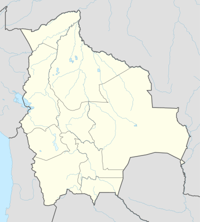 SLIG Location of Inglaterra Airport in Bolivia | |||||||||||
| Runways | |||||||||||
| |||||||||||
See also


- Transport in Bolivia
- List of airports in Bolivia
References
- Airport record for Inglaterra Airport at Landings.com. Retrieved 2013-08-11
- Google (2013-08-11). "location of Inglaterra Airport" (Map). Google Maps. Google. Retrieved 2013-08-11.
- Airport information for Inglaterra Airport at Great Circle Mapper.
External links
- OpenStreetMap - Inglaterra
- OurAirports - Inglaterra
- Fallingrain - Inglaterra Airport
- Accident history for Inglaterra Airport at Aviation Safety Network
This article is issued from Wikipedia. The text is licensed under Creative Commons - Attribution - Sharealike. Additional terms may apply for the media files.