Iguanita Wildlife Refuge
Iguanita Wildlife Refuge is a wildlife refuge, part of the Guanacaste Conservation Area, in Guanacaste Province, northwestern Costa Rica.
| Iguanita Wildlife Refuge | |
|---|---|
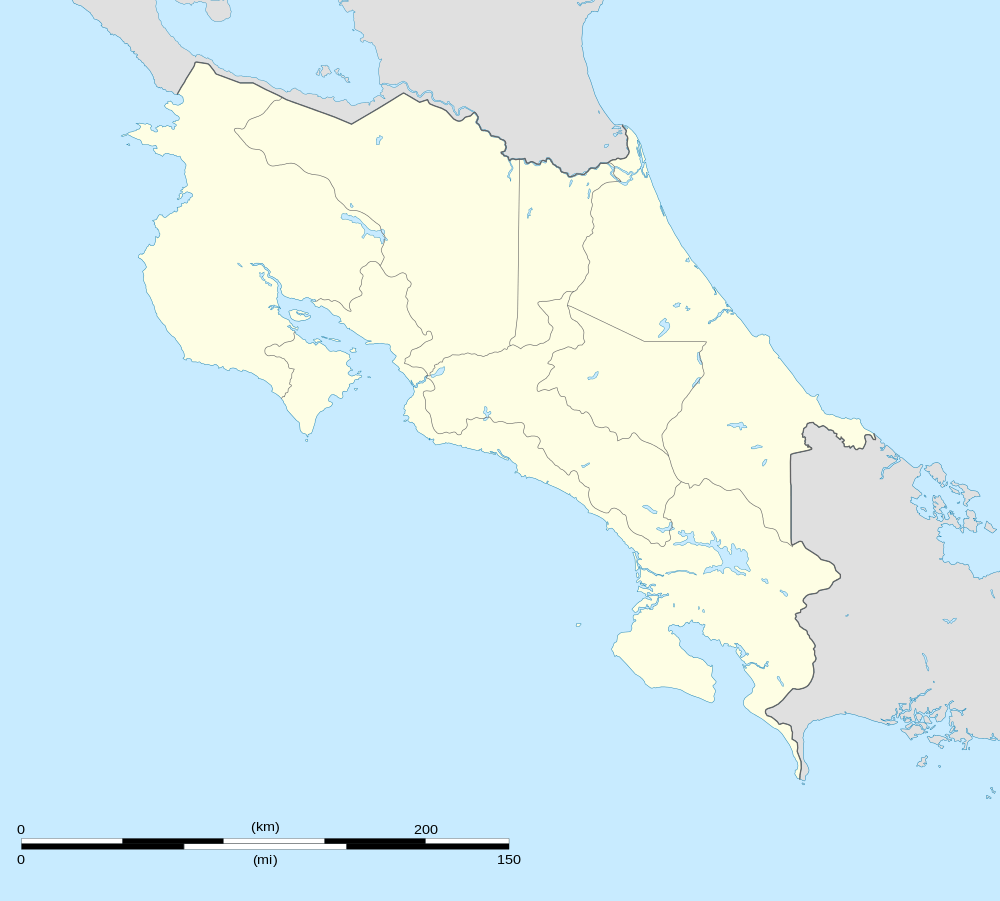 | |
| Location | Guanacaste Province, Costa Rica |
| Coordinates | 10.63°N 85.63°W |
| Area | ~1,100 acres |
| Established | 1995 |
| Governing body | National System of Conservation Areas (SINAC) |
It protects coastal mangroves and areas around the Quebrada Grande.
Geography
Iguanita Wildlife Refuge is a National Refuge of Costa Rica, it is located inside Bahia Culebra, 4th district Nacascolo, Liberia, Guanacaste, Costa Rica, just about 34.2 km and 32 minutes from downtown Liberia. The Refuge corresponds to the Area de Conservacion Tempisque ( ACT ), and is administrated by Sistema Nacional de Areas de Conservacion ( SINAC ). Before 1993 there was some interest in communities of Liberia, Sardinal, Palmira, Comunidad, Guardia and others to promote the protection of the natural region and the habitats of “Playa Iguanita”; due to these efforts. “Iguanita Wildlife Refuge” was created in order to provide protection to the beach, forests, mangroves and fauna.
Creation
According to the desire to maintain, preserve and develop a natural place like “Playa Iguanita”, in 1993 a group of leaders from different communities in the area proposed to turn this region into a Refuge Area. Consequently, the proposal was approved by Executive Order 23217 from MIRENEM ( currently MINAE ) ICT ( The National Tourism Board) created Iguanita Wildlife Refuge in 1994 to maintain and develop low-impact tourism. This refuge was decreed for protection of a great diversity of species, marine and cultural resources, as well as to provide opportunities of investigation, protection, education and social tourism of low-impact; for that there are social, regional and political institutions that seek for the increase in protection of terrestrial and marine ecosystems of the zone and the maintenance of the popular use of the “Playa Iguanita”. (7)
Weather
Iguanita Wildlife Refuge has a dry climate because it is located in the lowlands, providing a warm and dry climate With little rain and constant heat starting from October to April and a rainy season from May to November. It has an average annual temperature of 27 °C and historical extremes are 12.8 °C and 40.1 °C. The dry season gives to the lovers of the summer long time of sun for a good sunburn, while them rainy season allows that the trees bloom with explosions of colors and fragrances. The hills become carpeted of green diamond.(4)
Importance
The importance of Iguanita Refuge from the point of view of conservation and tourist attraction, is that it preserves and protects the flora and fauna, besides maintain some familiar traditions of people that visit the beach. This stretch of coastline is dry during the summer (December–April), but as green as any other part of Costa Rica during the rest of the year. It is a very healthy climate of dry heat, with an average annual temperature of 27,5 °C.
The beach is used for camping, being Holy Week, New Year and Holidays in Costa Rica the moments of more visits during the year. The proximity to Liberia downtown and as part of “Golfo de Papagayo” make it an important touristic region.
It is an important and especial place visited by many families who camp for several days during Holy Week, Christmas and New Year. They are many local people of Guanacaste such as Liberia, Carrillo, Filadelfia, Bagaces, Tilaran, and Upala, but people that predominates are from Sardinal, Palmira, Comunidad, and Guardia, for that it is one of the few beaches to maintain the popular camped in the Pacific of Guanacaste.(2, 6, 7)
Biological resources
This area has a tropical climate with 115 hectares permitting various habitats of flora and fauna with a variety of terrestrial and marine species. There are diversities of natural and cultural resources that include beach, estuary, mangrove swamp, forest, and some archaeological places. In the National Refuge are some mangrove species known in the Costa Rican Pacific coast, like the red (Rhizophora mangle), the black (Avicennia germinans), or the white (Laguncularia racemosa). Also, between these natural areas are able to mention the dry forest, where are 118 trees species, 150 mushroom species, 135 birds species, 10 terrestrial mammals species. In the marine area is important to mention that are 24 mollusks species, 22 fish species, 13 crustacean species, 5 corals species, 3 echinoderms species, and besides there are registration of nesting and birth marine turtles ( Lora and Carey ).(1, 7)
Tourism
The importance of the refuge it is the protection of a variety marine species and cultural resources giving opportunities for research, study, conservation, and attract the social tourism of low-impact. The beach has grey sands bathed by the blue waters of Culebra Bay. It is located between dead and active cliffs. It is part of Quebrada Grande, the waters of which flow into an estuary with 24 hectares of mangrove swamp, it is a beach with 1,5 km long, there are rocky platforms at the base of the cliffs that are exposed at low tide. This Refuge is located in “Bahia Culebra” that is in “Golfo de Papagayo” for this reason is near many others beaches and places like El Coco, Hermosa, Panama, Alegro Resort Papagayo, Papagayo Marine, Four Season Resort, and others. However, it is a new reservation and for this reason has not important infrastructure, for the moment there is a big house for the forest rangers.(2, 6)
The route to arrive
The route to take is from Liberia to Alegro Resort Papagayo, taking the route 21, first pass the Daniel Oduber Quiros airport, second passing Guardia community (20 km.) crossing the twin bridges over the River Tempisque and continuing 300 meters and right-hand turning, third near the “Do it Center” take the route 253 and continue 10 km approximately. Then there is a sign at the end, 3 km before Hacienda La Culebra left-hand turning, the last 4.2 km is made of fill and rocks, it's so steep and it’s necessary four-wheel drive vehicles because the access is very difficult principally in the winter season, the beach may not be accessible sometimes. There are 14,2 km of distance between Guardia and Iguanita.(2)
Controversies
The coastal zones in Guanacaste are recently the highest levels of development and construction in Costa Rica. However, in the same way they present high levels of improvisation and speculation, generating current and future legal problems in public zones and protection areas, besides producing problems of sustainability in the zones, deterioration of natural, patrimonial and cultural resources.
Examples of these problems are the existent in Playa Tamarindo, Papagayo, Las Baulas National Marine Park, and many others in Guanacaste. This is consequence of ICT that gives concessions to big International hotels, regardless of the impact in the nature. The communities and nearby families complain because hotel companies transform these places into privates areas limiting of Costarricans to access public places like beaches that belong to them by law and right. As a consequence there are some groups working and fighting to maintain the Iguanita Refuge, so they have created and developed Associations like Comunal de Carrillo, Integral de Guardia and San Roque, Candega, Barrio Los Angeles, Las Delicias, La Victoria, Guadalupe and neighbors of Tilaran; thanks to these people and The support of the deputy Ballesteros Vargas the “Iguanita Wildlife Refuge”, was created in the file Nº 16.349, and published in La Gaceta Nº 186, September 2006. The objective of the Refuge is ensured the Costa Ricans and Guanacastecos the enjoyment of the Refuge, giving equality of opportunities and rights in order that all citizens be able to have access to the enjoyment of the beach.