Howe, Indiana
Howe is an unincorporated community and census-designated place in Lima Township, LaGrange County, Indiana. As of the 2010 census its population was 807.[2]
Howe, Indiana | |
|---|---|
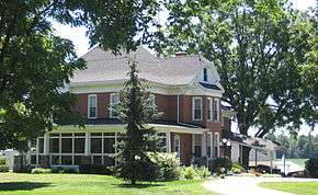 Classic farmhouse along the south side of State Road 120 on the east side of Howe | |
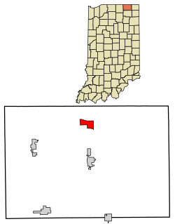 Location in LaGrange County, Indiana | |
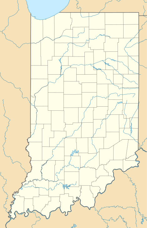 Howe Location in Indiana  Howe Location in the United States | |
| Coordinates: 41°43′17″N 85°25′14″W | |
| Country | United States |
| State | Indiana |
| County | LaGrange |
| Township | Lima |
| Area | |
| • Total | 1.79 sq mi (4.63 km2) |
| • Land | 1.79 sq mi (4.63 km2) |
| • Water | 0.0 sq mi (0.0 km2) |
| Elevation | 879 ft (268 m) |
| Population (2010) | |
| • Total | 807 |
| • Density | 450/sq mi (170/km2) |
| ZIP code | 46746 |
| FIPS code | 18-34978 |
| GNIS feature ID | 436547[1] |
History
Howe was settled in 1834. At that time, it was named "Mongoquinong", a name that the Potawatomi people had given to the prairie in northeastern Indiana. Shortly thereafter it was renamed "Lima" and was, at that time, the county seat. It was later renamed "Howe" after John B. Howe, a local attorney.[3]
The Howe Military School, the town's most famous attraction, was founded in 1884.
_Indiana_1876.PNG)
Local places on the National Register
Sites in Howe on the National Register of Historic Places are:
- John Badlam Howe Mansion, also known as the Howe Military School Rectory
- Lima Township School
- St. James Memorial Chapel
- Star Milling and Electric Company Historic District
- Samuel P. Williams House
Geography
Howe is located in northern LaGrange County at 41°43′17″N 85°25′14″W at the intersection of State Road 120 and State Road 9. It is the principal community in Lima Township. It is 2 miles (3 km) south of Interstate 80/90 (the Indiana Toll Road), and 5 miles (8 km) north of LaGrange, the county seat.
According to the U.S. Census Bureau, the Howe census-designated place has an area of 1.8 square miles (4.6 km2), all of it recorded as land.[4] The Pigeon River, a tributary of the St. Joseph River, flows westward along the southern edge of the community.
References
- "Howe, Indiana". Geographic Names Information System. United States Geological Survey. Retrieved 2009-10-17.
- "Profile of General Population and Housing Characteristics: 2010 Census Summary File 1 (DP-1), Howe CDP, Indiana". American FactFinder. U.S. Census Bureau. Archived from the original on February 13, 2020. Retrieved January 21, 2020.
- Baker, Ronald L. (October 1995). From Needmore to Prosperity: Hoosier Place Names in Folklore and History. Indiana University Press. p. 172. ISBN 978-0-253-32866-3.
...renamed for lawyer John B. Howe...
- "U.S. Gazetteer Files: 2019: Places: Indiana". U.S. Census Bureau Geography Division. Retrieved January 21, 2020.
- "Census of Population and Housing". Census.gov. Retrieved June 4, 2016.
Municipalities and communities of LaGrange County, Indiana, United States | ||
|---|---|---|
| Towns | Map of Indiana highlighting LaGrange County | |
| Townships | ||
| CDP | ||
| Other unincorporated communities | ||
| Footnotes | ‡This populated place also has portions in an adjacent county or counties | |