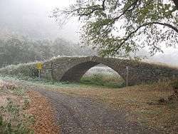
Horní Poříčí (Strakonice District)
Horní Poříčí is a village and municipality (obec) in Strakonice District in the South Bohemian Region of the Czech Republic.
Horní Poříčí | |
|---|---|
Municipality | |
 | |
.svg.png) Coat of arms | |
 Horní Poříčí | |
| Coordinates: 49°17′35″N 13°47′6″E | |
| Country | |
| Region | South Bohemian |
| District | Strakonice |
| Area | |
| • Total | 7.05 km2 (2.72 sq mi) |
| Elevation | 412 m (1,352 ft) |
| Population (2006) | |
| • Total | 306 |
| • Density | 43/km2 (110/sq mi) |
| Postal code | 386 01 |
The municipality covers an area of 7.05 square kilometres (2.72 sq mi), and has a population of 306 (as at 28 August 2006).
Horní Poříčí lies approximately 10 kilometres (6 mi) west of Strakonice, 62 km (39 mi) north-west of České Budějovice, and 100 km (62 mi) south-west of Prague.
This article is issued from Wikipedia. The text is licensed under Creative Commons - Attribution - Sharealike. Additional terms may apply for the media files.