Hoeselt
Hoeselt is a municipality located in the Belgian province of Limburg. On January 1, 2006, Hoeselt had a total population of 9,265. The total area is 30.02 km² which gives a population density of 309 inhabitants per km².
Hoeselt | |
|---|---|
 | |
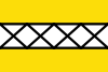 Flag  Coat of arms | |
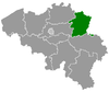
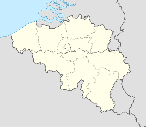 Hoeselt Location in Belgium
Location of Hoeselt in Limburg 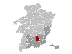 | |
| Coordinates: 50°51′N 05°29′E | |
| Country | Belgium |
| Community | Flemish Community |
| Region | Flemish Region |
| Province | Limburg |
| Arrondissement | Tongeren |
| Government | |
| • Mayor | Werner Raskin Open VLD |
| • Governing party/ies | Nieuw, VLD-Vivant, CD&V |
| Area | |
| • Total | 30.02 km2 (11.59 sq mi) |
| Population (2018-01-01)[1] | |
| • Total | 9,685 |
| • Density | 320/km2 (840/sq mi) |
| Postal codes | 3730 |
| Area codes | 089 |
| Website | www.hoeselt.be |
Situated close to the "Roman" Tongeren, many traces from the Roman empire were found in the fertile soil of Hoeselt. In 1066, this village came under the surveillance of Hoei; it was in that time still named Housle (from hus and lo, meaning house by the forest). These forests of Hoeselt were cultivated in the 12th and 13th century.
Later, Hoeselt was part of the Frankish Kingdom; and then its territory fell under the Bishop of Liège.
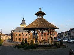
The old centre of Hoeselt, with its triangular shape, and the motheuvel (motte hill), both show the influence of its Frankish past.
References
- "Wettelijke Bevolking per gemeente op 1 januari 2018". Statbel. Retrieved 9 March 2019.
External links

- Official website - Available only in Dutch
Places adjacent to Hoeselt | ||||||||||
|---|---|---|---|---|---|---|---|---|---|---|
| ||||||||||