Hillsboro, Tennessee
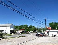
Hillsboro is an unincorporated community in Coffee County, Tennessee, United States, that was treated as a census-designated place for the 2010 U.S. Census.[3] The population was 450 as of the 2010 census.[2] The community is concentrated around the intersection of U.S. Route 41 and Tennessee State Route 127, between Manchester to the northwest and Monteagle to the southeast. The Cumberland Plateau rises to the east, and Arnold Air Force Base lies to the west.
Hillsboro, Tennessee | |
|---|---|
 | |
 Hillsboro, Tennessee | |
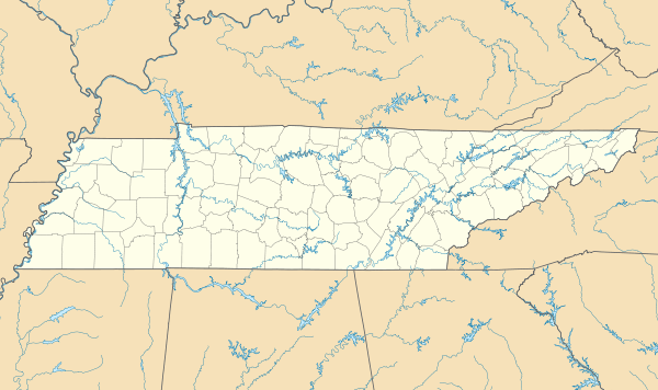
| Coordinates: 35°24′31″N 85°57′50″W | |
| Country | United States |
| State | Tennessee |
| County | Coffee |
| Area | |
| • Total | 4.120 sq mi (10.67 km2) |
| • Land | 4.118 sq mi (10.67 km2) |
| • Water | 0.002 sq mi (0.005 km2) |
| Elevation | 1,056 ft (322 m) |
| Population (2010)[2] | |
| • Total | 450 |
| • Density | 110/sq mi (42/km2) |
| Time zone | UTC-6 (Central (CST)) |
| • Summer (DST) | UTC-5 (CDT) |
| Area code(s) | 931 |
| GNIS feature ID | 2586062[3] |
References
- "US Gazetteer files: 2010, 2000, and 1990". United States Census Bureau. 2011-02-12. Retrieved 2011-04-23.
- "U.S. Census website". United States Census Bureau. Retrieved 2011-05-14.
- U.S. Geological Survey Geographic Names Information System: Hillsboro, Tennessee
Municipalities and communities of Coffee County, Tennessee, United States | ||
|---|---|---|
| Cities | ||
| CDPs | ||
| Unincorporated communities | ||
| Footnotes | ‡This populated place also has portions in an adjacent county or counties | |
This article is issued from Wikipedia. The text is licensed under Creative Commons - Attribution - Sharealike. Additional terms may apply for the media files.