Henry County Airport (Ohio)
Henry County Airport (FAA LID: 7W5) is a public use airport located three nautical miles (6 km) east of the central business district of Napoleon, a city in Henry County, Ohio, United States. It is owned by the Henry County Airport Authority.[1] This airport is included in the National Plan of Integrated Airport Systems for 2011–2015, which categorized it as a general aviation facility.[2]
Henry County Airport | |||||||||||
|---|---|---|---|---|---|---|---|---|---|---|---|
| Summary | |||||||||||
| Airport type | Public | ||||||||||
| Owner | Henry County Airport Authority | ||||||||||
| Serves | Henry County, Ohio | ||||||||||
| Location | Napoleon, Ohio | ||||||||||
| Elevation AMSL | 683 ft / 208 m | ||||||||||
| Coordinates | 41°22′27″N 084°04′04″W | ||||||||||
| Map | |||||||||||
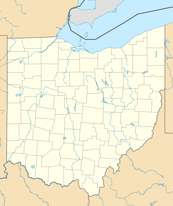 7W5 Location of airport in Ohio/United States  7W5 7W5 (the United States) | |||||||||||
| Runways | |||||||||||
| |||||||||||
| Statistics (2011) | |||||||||||
| |||||||||||
Facilities and aircraft
Henry County Airport covers an area of 47 acres (19 ha) at an elevation of 683 feet (208 m) above mean sea level. It has one runway designated 10/28 with an asphalt surface measuring 4,000 by 65 feet (1,219 x 20 m).[1]
For the 12-month period ending July 13, 2011, the airport had 15,637 aircraft operations, an average of 42 per day: 99% general aviation, <1% air taxi, and <1% military. At that time there were 21 aircraft based at this airport: 81% single-engine, 14% helicopter, and 5% multi-engine.[1]
References
- FAA Airport Master Record for 7W5 (Form 5010 PDF). Federal Aviation Administration. Effective May 31, 2012.
-
"2011–2015 NPIAS Report, Appendix A" (PDF). National Plan of Integrated Airport Systems. Federal Aviation Administration. October 4, 2010. Archived from the original (PDF, 2.03 MB) on September 27, 2012. External link in
|work=(help)
External links
- Aerial image as of April 1994 from USGS The National Map
- FAA Terminal Procedures for 7W5, effective April 23, 2020
- Resources for this airport:
- FAA airport information for 7W5
- AirNav airport information for 7W5
- FlightAware airport information and live flight tracker
- SkyVector aeronautical chart for 7W5