Hampen Railway Cutting
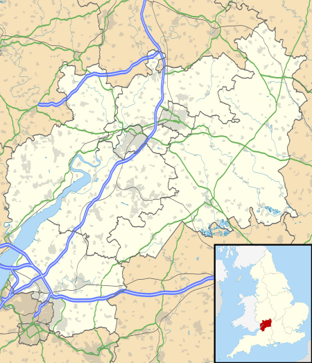
Hampen Railway Cutting (grid reference SP062205) is a 3.9-hectare (9.6-acre) geological Site of Special Scientific Interest in Gloucestershire, notified in 1974.[1][2] The site is listed in the 'Cotswold District' Local Plan 2001-2011 (on line) as a Key Wildlife Site (KWS) and Regionally Important Geological Site (RIGS).[3][4]
| Site of Special Scientific Interest | |
 Location within Gloucestershire | |
| Area of Search | Gloucestershire |
|---|---|
| Grid reference | SP062205 |
| Coordinates | 51.883477°N 1.910604°W |
| Interest | Geological |
| Area | 3.9 hectare |
| Notification | 1974 |
| Natural England website | |
Location and geology
The site lies in the Cotswold Area of Outstanding Natural Beauty and is considered one of the best exposures of the Hampen Marly Formation of the Middle Jurassic period. The exposures in the cutting show the complete section from the top of the Lower Fuller's Earth Clay to the middle of the White Limestone Formation. This is a prime research site for understanding the variations in rocks of this age between the Cotswold shelf and the Wessex area.[1]
References
- Natural England SSSI information on the citation
- Cotswold District Local Plan, Appendix 1, Sites of Special Scientific Interest Archived 2012-03-26 at the Wayback Machine
- Cotswold District Local Plan, Appendix 2, Key Wildlife Sites Archived 2013-10-13 at the Wayback Machine
- Cotswold District Local Plan, Appendix 3, Regionally Important Geological Sites Archived 2012-03-26 at the Wayback Machine