Habaswein
Habaswein is a town in Kenya's Wajir County, which is almost exclusively inhabited by ethnic Somalis. According to the 2009 census, the town was the second most populous in the county with a population of 21,890.[1] The A13 highway from Isiolo to Mandera passes through Habaswein; it is located on the stretch from Modogashe to Wajir.[2]
Habaswein | |
|---|---|
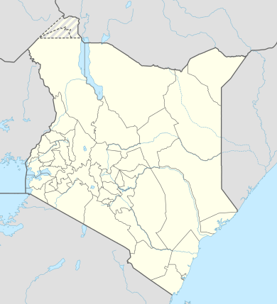 Habaswein Location of Habaswein | |
| Coordinates: 1.01°N 39.49°E | |
| Country | Kenya |
| County | Wajir County |
| Population (2009) | |
| • Total | 21,890 |
| Time zone | UTC+3 (EAT) |
The Town is much better than the county headquarters of Wajir and has better environment, reliable and clean water sources. It was fast rising before the County Government denied it resources and sidelined the development of the area. The First County Government of Wajir denied the city and its inhabitants their rights. It was discriminated against. The Habaswein hospital almost closed during this time with no drugs.
The name Habeswein literally means big snake; local tale has it that there was a big snake that was caught in the region long ago thereby inheriting the name.
The town lies on the border between Wajir South Constituency and Wajir West Constituency; the road passing through the town forms the border.
It has lakes, seasonal rivers/streams and agricultural valleys. The lakes are: Lake Bor, Lake Bissike, Lake Bogol, Lake Duup, Waratiris (stream), Abakfin, Ibrahim Ure, Shuub waraba, Cinjir, Lake Dima, Qote, Shimbirey and Quarintil.
References
- "Wajir County Integrated Development Plan (CIDP 2018-2022)". Maarifa. Retrieved 3 December 2019.
- "KeNHA Road Network" (PDF). Kenya National Highways Authority (KeNHA). Retrieved 12 July 2019.