Gurney Airport
Gurney Airport (IATA: GUR, ICAO: AYGN) is an airport serving Alotau in the Milne Bay Province of Papua New Guinea (PNG).[1]
Gurney Airport | |||||||||||
|---|---|---|---|---|---|---|---|---|---|---|---|
| Summary | |||||||||||
| Airport type | Public | ||||||||||
| Operator | Government | ||||||||||
| Serves | Alotau, Milne Bay Province, Papua New Guinea | ||||||||||
| Elevation AMSL | 18.6 m / 61 ft | ||||||||||
| Coordinates | 10°18′41″S 150°20′01″E | ||||||||||
| Map | |||||||||||
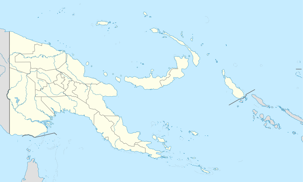 GUR Location of the airport in Papua New Guinea | |||||||||||
| Runways | |||||||||||
| |||||||||||
The airport is a single runway general aviation facility, however in December, 2008, the PNG Minister for Transport and Civil Aviation, Don Polye announced that aviation company SkyAirWorld had been granted permission to operate direct flights from Cairns, Australia to Gurney.[3]
History
Built by the US Army 96th Engineer General Service Regiment, Company E of 46th Engineer General Service Regiment and No. 6 Mobile Works Squadron RAAF during World War II. Consisting of two parallel runways with the first runway 6,000 feet (1,800 m) long by 150 feet (46 m) wide surfaced with bitumen and the second runway 5,340 feet (1,630 m) long x 100 feet (30 m) wide surfaced with marston matting. Taxiways and revetments extended off both sides of the runways. Known as Fall River Aerodrome and No. 1 Strip. The airfield was named Gurney Field on 14 September 1942 in honour of Royal Australian Air Force Squadron Leader C.R. Gurney, who was killed in an aircraft crash. [4] [5] [6]
The airfield was reopened in early 1966, as a part of the Australian colonial policy of having each of the provincial capitals served by daily flights. The last Sunbird PBY service to Samarai was in January of that year. A number of other WWII airfields were reopened in the area, such as Vivigani Airfield and Misima (April 1964). Several airlines then operated daily passenger and freight services into Gurney, using larger aircraft.[7]
Allied Units based at Gurney Field
- 8th Fighter Group (18 September 1942 – February 1943)
- Headquarters, 35th Fighter Squadron, P-40 Warhawk, 36th Fighter Squadron, (P-39 Airacobra, P-400, and P-40 Warhawk[8]), 80th Fighter Squadron P-38 Lightning, P-39 Airacobra.
- 418th Night Fighter Squadron, (V Fighter Command), (2–22 November 1943), P-61 Black Widow
- 421st Night Fighter Squadron, (V Fighter Command), (4–27 January 1944), P-61 Black Widow
- No. 32 Squadron RAAF - (Lockheed Hudson)
- No. 75 Squadron RAAF (P-40)
- No. 76 Squadron RAAF (P-40)
- No. 100 Squadron RAAF
- No. 10 Repair and Salvage Unit RAAF
- A Troop, 9 Battery, 2/3 Australian Light Anti-aircraft Regiment[9]
Facilities
The airport resides at an elevation of 88 feet (27 m) above mean sea level. It has one runway designated 09/27 with an asphalt surface measuring 1,690 by 30 metres (5,545 ft × 98 ft).[10]
Airlines and destinations
| Airlines | Destinations |
|---|---|
| Air Niugini | Brisbane,[11] Port Moresby |
| PNG Air | Losuia, Misima Island, Port Moresby |
See also
References
![]()
- Airport information for AYGN at World Aero Data. Data current as of October 2006.Source: DAFIF.
- Airport information for GUR at Great Circle Mapper. Source: DAFIF (effective October 2006).
- Gurney Airport. PNG Gossip blog. 17 December 2008.
-

- Maurer, Maurer (1983). Air Force Combat Units Of World War II. Maxwell AFB, Alabama: Office of Air Force History. ISBN 0-89201-092-4.
- www.pacificwrecks.com
- "AYGN/Alotau/Gurney General Airport Information". acukwik.com. Retrieved 28 May 2020.
- Flight logs of 1st Lt William T. Brown
- Rae, CJE, Harris, AL & Bryant, RK 1987, On target: the story of the 2/3 Australian Light Anti-Aircraft Regiment from formation on 18th July 1940 until disbandment on 14 July 1943 and the subsequent service of 7th Battery, 8th Battery, and 9th Battery, until the end of World War II, 2/3rd Australian Light Anti-Aircraft Regiment Association, [Melbourne].
- "AYGN/Alotau/Gurney General Airport Information". acukwik.com. Retrieved 28 May 2020.
- "Archived copy". Archived from the original on 17 November 2015. Retrieved 15 November 2015.CS1 maint: archived copy as title (link)
External links
Previously: Philippine Department Air Force (1941); Far East Air Force (1941-1942) | |||||||||||||||||||||||||||||
| Airfields |
| .svg.png) | |||||||||||||||||||||||||||
| Units |
| ||||||||||||||||||||||||||||