Gmina Strachówka
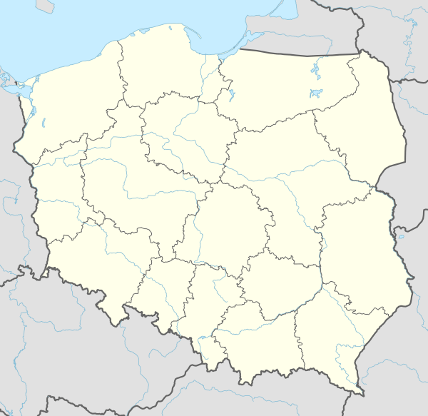
Gmina Strachówka is a rural gmina (administrative district) in Wołomin County, Masovian Voivodeship, in east-central Poland. Its seat is the village of Strachówka, which lies approximately 30 kilometres (19 mi) east of Wołomin and 51 km (32 mi) north-east of Warsaw.
Gmina Strachówka Strachówka Commune | |
|---|---|
 Gmina Strachówka | |
| Coordinates (Strachówka): 52°26′N 21°39′E | |
| Country | |
| Voivodeship | Masovian |
| County | Wołomin |
| Seat | Strachówka |
| Area | |
| • Total | 107.7 km2 (41.6 sq mi) |
| Population (2014) | |
| • Total | 2,816 |
| • Density | 26/km2 (68/sq mi) |
The gmina covers an area of 107.7 square kilometres (41.6 sq mi), and as of 2014 its total population is 2,816.
Villages
Gmina Strachówka contains the villages and settlements of Annopol, Borucza, Grabszczyzna, Jadwisin, Józefów, Kąty Czernickie, Kąty-Miąski, Kąty-Wielgi, Krawcowizna, Księżyki, Marysin, Młynisko, Osęka, Piaski, Równe, Rozalin, Ruda-Czernik, Strachówka, Szamocin, Szlędaki, Wiktoria and Zofinin.
Neighbouring gminas
Gmina Strachówka is bordered by the gminas of Dobre, Jadów, Korytnica, Poświętne, Stanisławów and Tłuszcz.