Gilmore, Maryland
Gilmore is an unincorporated community and census-designated place (CDP) in Allegany County, Maryland, United States. As of the 2010 census it had a population of 127.[1] It is part of the Cumberland, MD-WV Metropolitan Statistical Area.
Gilmore, Maryland | |
|---|---|
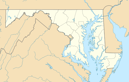 Location within the State of Maryland  Gilmore, Maryland (the United States) | |
| Coordinates: 39°34′58″N 78°57′0″W | |
| Country | |
| State | |
| County | |
| Area | |
| • Total | 0.08 sq mi (0.2 km2) |
| • Land | 0.08 sq mi (0.2 km2) |
| • Water | 0 sq mi (0 km2) |
| Elevation | 1,680 ft (510 m) |
| Population (2010) | |
| • Total | 127 |
| • Density | 1,316/sq mi (508.3/km2) |
| Time zone | UTC−5 (Eastern (EST)) |
| • Summer (DST) | UTC−4 (EDT) |
| FIPS code | 24-32175 |
| GNIS feature ID | 2583630 |
Gilmore lies in the valley of Georges Creek, a tributary of the North Branch Potomac River, between Dans Mountain to the southeast and Big Savage Mountain to the northwest. Maryland Route 36 runs north-south through the community. Midland is directly to the north, and Lonaconing is 2 miles (3 km) to the southwest.
References
- "Geographic Identifiers: 2010 Demographic Profile Data (G001): Gilmore CDP, Maryland". U.S. Census Bureau, American Factfinder. Archived from the original on February 12, 2020. Retrieved May 24, 2013.
Municipalities and communities of Allegany County, Maryland, United States | ||
|---|---|---|
| Cities | 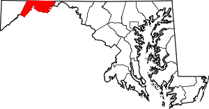 | |
| Towns | ||
| CDPs |
| |
| Other communities | ||
This article is issued from Wikipedia. The text is licensed under Creative Commons - Attribution - Sharealike. Additional terms may apply for the media files.