Gardynebourg
Gardynebourg was a hamlet that once existed in Angus, Scotland, between Barry and Carnoustie.[1] Urban growth in the latter part of the nineteenth century and early twentieth century gradually led to Gardynebourg becoming subsumed into the town of Carnoustie.
| Gardynebourg | |
|---|---|
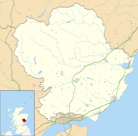 Gardynebourg Location within Angus | |
| OS grid reference | NO550343 |
| Council area | |
| Lieutenancy area | |
| Country | Scotland |
| Sovereign state | United Kingdom |
| Police | Scotland |
| Fire | Scottish |
| Ambulance | Scottish |
The location of Gardynebourg can be seen on the first edition Ordnance Survey map (6 inches to one mile) of 1865.[2] The buildings that once comprised the hamlet can be found today in the locality of Thomas Street, Carnoustie.
References
- Dickson, R. (1892), Carnoustie and its Neighbourhood (revised ed.), Balgavies, Angus: Pinkfoot Press (2002 facsimile)
- "Sheet LI", Ordnance Survey Maps - Six-inch 1st edition, Scotland, 1843-1882, 1865, retrieved 7 October 2010
This article is issued from Wikipedia. The text is licensed under Creative Commons - Attribution - Sharealike. Additional terms may apply for the media files.