Gaerwen
Gaerwen (![]()
| Gaerwen | |
|---|---|
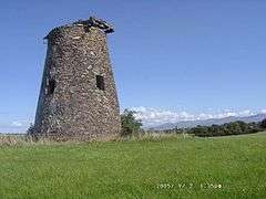 One of Gaerwen's windmills | |
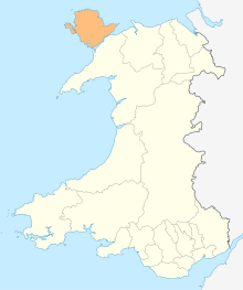
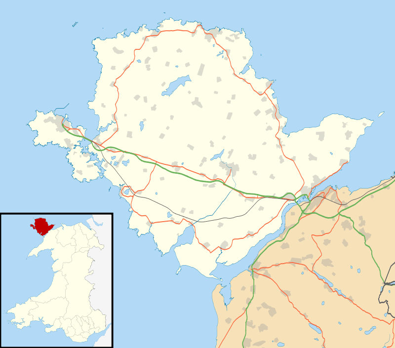 Gaerwen Location within Anglesey | |
| Population | 1,551 (2011) |
| OS grid reference | SH4675 |
| Community | |
| Principal area | |
| Ceremonial county | |
| Country | Wales |
| Sovereign state | United Kingdom |
| Post town | GAERWEN |
| Postcode district | LL60 |
| Dialling code | 01248 |
| Police | North Wales |
| Fire | North Wales |
| Ambulance | Welsh |
| UK Parliament | |
| Senedd Cymru – Welsh Parliament |
|
Gaerwen Hoard
An important Bronze Age hoard was found near Gaerwen in the nineteenth century. Comprising 2 gold lockrings and 2 penannular bracelets, it is now in the collections of the British Museum.[2]
Village today
Facilities in Gaerwen include four public houses, one car dealership, and four churches. It is very much a village of the old and new with two disused windmills in the north of the village and a modern industrial estate making up the south west portion of the village. With along a primary school and a football pitch in the middle of the village. There is also a fish and chip shop with a barber shop next door. A science park on the south of the A55 Junction was opened in 2018.
Governance
An electoral ward electoral of the same name as the Community exists. The population of this ward at the 2011 census was 2,016.[3]
Significance
There is a war memorial at the heart of the village to pay tribute to those who have fallen in both World Wars . The village is probably most famous, however, for housing the southernmost station of the Anglesey Central Railway which was in use between 1864 and 1993. It was also used on the Bangor to Holyhead mainline until 1963.
References
- "Community Population 2011". Retrieved 19 May 2015.
- British Museum Collection
- "Ward population 2011". Retrieved 19 May 2015.
- Photos of Gaerwen and surrounding area on geograph
- Photos of Star and surrounding area on geograph
- Isle of Anglesey County Council