Fulay, Abdasa
Fulay is a panchayat village[2] in Gujarat, India.[3] Administratively it is under Abdasa Taluka, Kutch District, Gujarat.[2][4] Fulay is 19 km by road northwest of the town of Naliya.
Fulay | |
|---|---|
Village | |
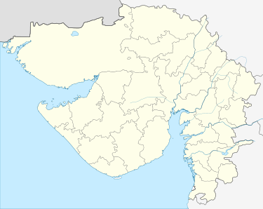 Fulay Location in Gujarat, India  Fulay Fulay (India) | |
| Coordinates: 23°25′56″N 068°44′32″E | |
| Country | |
| State | Gujarat |
| District | Kutch |
| Taluka | Abdasa |
| Government | |
| • Type | Panchayati raj (India) |
| • Body | Gram panchayat |
| Population (2001) | |
| • Total | 255 |
| Time zone | UTC+5:30 (IST) |
| PIN | 370655 |
| Vehicle registration | GJ |
| Lok Sabha constituency | Kachchh |
| Vidhan Sabha constituency | Abdasa[1] |
| Website | gujaratindia |
Demographics
In the 2001 census, the village of Fulay had 255 inhabitants, with 135 males (52.9%) and 120 females (47.1%), for a gender ratio of 889 females per thousand males.[5]
Notes
- "Assembly Constituencies-Post delimitation, State: Gujarat, District: Ahmadabad" (PDF). National Information Centre, Government of India. Archived from the original (PDF) on 24 December 2012.
- 2011 Village Panchayat Code for Fulay = 256171, "Reports of National Panchayat Directory: Village Panchayat Names of Abdasa, Kachchh, Gujarat". Ministry of Panchayati Raj, Government of India. Archived from the original on 20 June 2013.
- 2001 Census Village code for Fulay = 00063800, "2001 Census of India: List of Villages by Tehsil: Gujarat" (PDF). Registrar General & Census Commissioner, India. p. 14. Archived (PDF) from the original on 13 November 2011.
- "Villages of Abdasa Taluka". Kutch District. Archived from the original on 7 July 2012.
- "Census 2001 Population Finder: Gujarat: Kachchh: Abdasa: Fulay". Office of The Registrar General & Census Commissioner, Ministry of Home Affairs, Government of India. Archived from the original on 31 May 2013.
This article is issued from Wikipedia. The text is licensed under Creative Commons - Attribution - Sharealike. Additional terms may apply for the media files.