Fields End
Fields End is a hamlet to the North West of Hemel Hempstead, just beyond Warner's End on Boxted Road, in Hertfordshire, England. At the 2011 Census the population of the hamlet was included in the Dacorum ward of Chaulden and Warner's End.
| Fields End | |
|---|---|
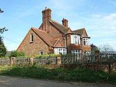 Fields End Farm, Fields End | |
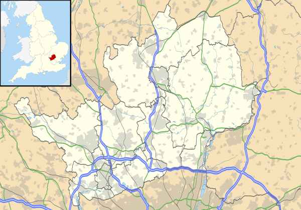 Fields End Location within Hertfordshire | |
| OS grid reference | TL030080 |
| District | |
| Shire county | |
| Region | |
| Country | England |
| Sovereign state | United Kingdom |
| Post town | HEMEL HEMPSTEAD |
| Postcode district | HP1 |
| Dialling code | 01442 |
| Police | Hertfordshire |
| Fire | Hertfordshire |
| Ambulance | East of England |
| UK Parliament | |
The village is formally recognised as village within Hertfordshire by Hertfordshire County Council.[1]
Fields End consisted largely of agricultural fields until planning permission was granted for a new residential estate to begin construction on green belt land between Warner's End and Potten End in the 1980s. The estate was completed in the late 1990s, with Dacorum council having made several attempts to continue to develop the remaining agricultural land of Fields End Farm in the intervening years.
Attempts to develop the fields around Fields End continue to be investigated by Dacorum council, with formal objections being registered at recently as December 2008.[2]
Local schools are Potten End School, Micklem Primary and formerly Martindale Primary schools (closed 2008),[3] and the John F Kennedy Catholic School. The site of Fields End Infants School and The Halsey School, the neighbouring High School both once on the corner of Berkhamsted Road and Boxted Road[4] now sits under the Fields End estate housing development which was constructed in the early 1990s.
Neighbouring towns are the Hemel Hempstead district of Warner's End and the villages of Potten End and Little Heath.
References
- "Hertfordshire Towns Search". Hertfordshire.com. 1 January 2009. Retrieved 11 April 2009.
- "Dacorum Site Allocations Development Plan Document" (PDF). CPRE – The Hertfordshire Society. 18 December 2008. Archived from the original (PDF) on 7 October 2011. Retrieved 11 April 2009.
- "Primary Capital Programme: Strategy for Change" (PDF). Hertfordshire County Council. 16 June 2008. Archived from the original (PDF) on 9 June 2011. Retrieved 9 April 2009.
- "Ordnance Survey (OS) Plan 1967 1:1,250". Old-Maps.co.uk. Retrieved 18 July 2018.