Ewhurst, East Sussex
Ewhurst is a civil parish in the Rother district of East Sussex, England. The parish is on the southern ridge of the River Rother valley. The centre of the parish is 24 miles (40 km) east-northeast from the county town of Lewes, and 9 miles (14 km) north from the coastal town of Hastings.
| Ewhurst | |
|---|---|
 St James' Church, Ewhurst Green | |
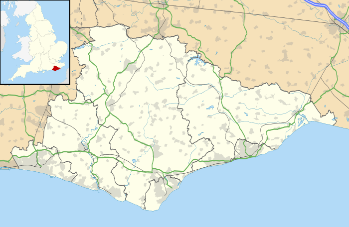 Ewhurst Location within East Sussex | |
| Area | 23.64 km2 (9.13 sq mi) [1] |
| Population | 1,130 (2011) [2] |
| • Density | 115.3/sq mi (44.5/km2) |
| OS grid reference | TQ799238 |
| • London | 46 miles (74 km) NW |
| District | |
| Shire county | |
| Region | |
| Country | England |
| Sovereign state | United Kingdom |
| Post town | ROBERTSBRIDGE |
| Postcode district | TN32 |
| Dialling code | 01580 |
| Police | Sussex |
| Fire | East Sussex |
| Ambulance | South East Coast |
| UK Parliament | |
The parish is one of farms, woods, dispersed residences and businesses, and the settlements of Staplecross (the largest), Ewhurst Green, and Cripps Corner.
There are two parish churches, one dedicated to St. James the Greater in Ewhurst Green,[3] and one to St Mark in Staplecross. The three parish public houses are the Crown Inn at Staplecross, The White Dog at Ewhurst Green, and The White Hart at Cripps Corner.
The former A229 road (now the B2244) crosses the parish from north to south. Although Bodiam station is the present terminus of the Kent and East Sussex Railway, and lies within the parish, the castle itself is in the neighbouring parish of Bodiam.
Governance
Ewhurst is part of the electoral ward called Ewhurst and Sedlescombe. The population of this ward at the 2011 census was 2,606.[4]
References
- "East Sussex in Figures". East Sussex County Council. Retrieved 26 April 2008.
- "Civil Parish population 2011". Retrieved 7 October 2015.
- St James the Great parish church
- "Ewhurst and Sedlescombe ward population 2011". Retrieved 7 October 2015.
External links

- The Parish of Ewhurst
| Authority control |
|
|---|