Ernée
Ernée is a commune in the Mayenne department in north-western France.
Ernée | |
|---|---|
 A general view of Ernée | |
 Coat of arms | |
Location of Ernée 
| |
 Ernée 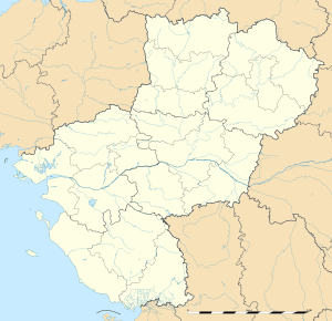 Ernée | |
| Coordinates: 48°17′51″N 0°55′53″W | |
| Country | France |
| Region | Pays de la Loire |
| Department | Mayenne |
| Arrondissement | Mayenne |
| Canton | Ernée |
| Government | |
| • Mayor (2017–2020) | Jacqueline Arcanger |
| Area 1 | 36.53 km2 (14.10 sq mi) |
| Population (2017-01-01)[1] | 5,731 |
| • Density | 160/km2 (410/sq mi) |
| Time zone | UTC+01:00 (CET) |
| • Summer (DST) | UTC+02:00 (CEST) |
| INSEE/Postal code | 53096 /53500 |
| Elevation | 107–200 m (351–656 ft) (avg. 142 m or 466 ft) |
| 1 French Land Register data, which excludes lakes, ponds, glaciers > 1 km2 (0.386 sq mi or 247 acres) and river estuaries. | |
It is named after the River Ernée, which runs through the town and is situated about halfway between the towns of Laval and Fougères. Ernée is home to a purpose built motocross track, which has been used in the Motocross World Championships and Motocross des Nations.[2]
Neighboring communes
The commune is bordered by the communes of Montenay, Saint-Pierre-des-Landes, Vautorte, La Pellerine, Saint-Hilaire-du-Maine, Saint-Denis-de-Gastines.
International relations
See also
References
- Notes
- "Populations légales 2017". INSEE. Retrieved 6 January 2020.
- "Ernée to Host 2020 Monster Energy FIM Motocross of Nations". mxgp.com. Retrieved 2018-10-08.
- "List of Twin Towns in the Ruhr District" (PDF). Twins2010.com. Retrieved 2009-10-28.
| Wikimedia Commons has media related to Ernée. |
| Authority control |
|
|---|
This article is issued from Wikipedia. The text is licensed under Creative Commons - Attribution - Sharealike. Additional terms may apply for the media files.