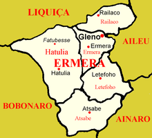
Ermera
Ermera (Vila Ermera) is a city in East Timor and a former capital of the East Timorese community, Ermera.[1] Ermera in Mambai means "red water." [2] It has a population of 8,907. Its geographical coordinates are 8°45′8″S 125°23′49″E, and it lies 1,195 metres (3,921 ft) above sea level. Ermera's center lies in the Suco of Poetete (Ermera Subdistrict, Ermera District).
Ermera | |
|---|---|
Subdistrict and town | |
 Main street and church of Ermera | |
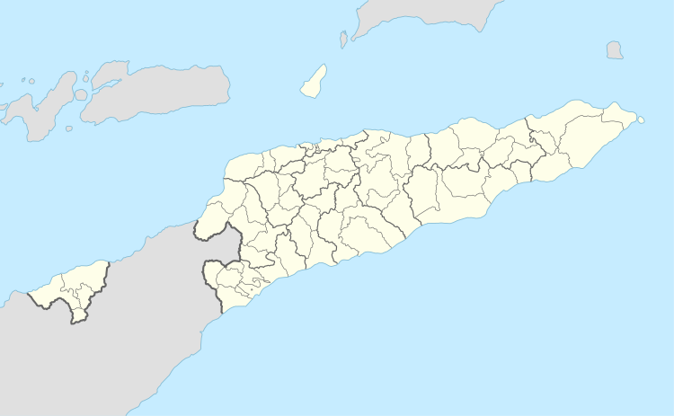 Ermera Location in East Timor | |
| Coordinates: 8°45′8″S 125°23′49″E | |
| Country | |
| District | Ermera District |
| Subdistrict | Ermera Subdistrict |
| Suco | Poetete |
| Elevation | 1,195 m (3,921 ft) |
| Population (2015 census) | |
| • Total | 8,907 |
| Time zone | UTC+9 (East Timor Standard Time) |
| Climate | Am |
Location of Ermera in the district of Ermera
References
- "Municipio de Ermera". Ministério da Administração Estatal. Archived from the original on 2016-02-04. Retrieved 2017-04-24.CS1 maint: BOT: original-url status unknown (link)
- "Newsletter of the Australian National Placenames Survey" (PDF). Placenames Australia. June 2006. pp. 6–7. Archived from the original (PDF) on 2017-02-14. Retrieved 2017-04-24.
This article is issued from Wikipedia. The text is licensed under Creative Commons - Attribution - Sharealike. Additional terms may apply for the media files.