El Tamarindo Airport
El Tamarindo Airport (ICAO: MSET) is an airport serving El Tamarindo, a coastal town in the La Unión Department of El Salvador.
El Tamarindo Airport | |||||||||||
|---|---|---|---|---|---|---|---|---|---|---|---|
| Summary | |||||||||||
| Airport type | Private | ||||||||||
| Serves | El Tamarindo, El Salvador | ||||||||||
| Elevation AMSL | 10 ft / 3 m | ||||||||||
| Coordinates | 13°09′45″N 087°54′17″W | ||||||||||
| Map | |||||||||||
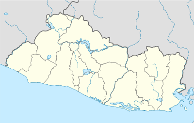 MSET Location in El Salvador | |||||||||||
| Runways | |||||||||||
| |||||||||||
The runway is crossways on a point (Punta de Amapala) at the entrance to the Gulf of Fonseca, and approaches to either end are over the water.
See also

- Transport in El Salvador
- List of airports in El Salvador
References
- Airport information for El Tamarindo Airport at World Aero Data. Data current as of October 2006.
- Airport information for El Tamarindo Airport at Great Circle Mapper.
- "El Tamarindo Airport". Google Maps. Google. Retrieved 7 August 2018.
External links
- OpenStreetMap - El Tamarindo
- OurAirports - El Tamarindo Airport
- Accident history for Canoguero-El Tamarindo Airport at Aviation Safety Network
This article is issued from Wikipedia. The text is licensed under Creative Commons - Attribution - Sharealike. Additional terms may apply for the media files.