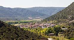
El Recuenco
El Recuenco is a municipality located in the province of Guadalajara, Castile-La Mancha, Spain, between the mountains of Cuenca, Alcarria and the Alto Tajo.
El Recuenco, Spain | |
|---|---|
 | |
 Flag  Seal | |
 El Recuenco, Spain 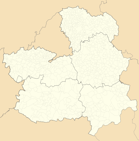 El Recuenco, Spain 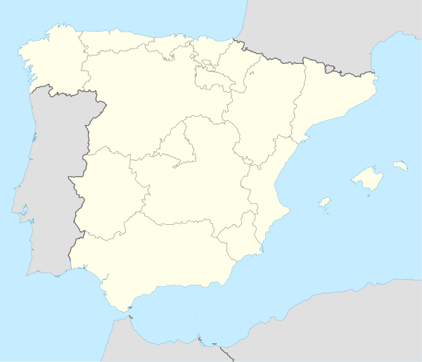 El Recuenco, Spain | |
| Coordinates: 40°37′0″N 2°20′18″W | |
| Country | |
| Autonomous community | Castile-La Mancha |
| Province | Guadalajara |
| Municipality | El Recuenco |
| judicial Party | Guadalajara |
| Government | |
| • Mayor | Collada Paulino Ruiz |
| Area | |
| • Total | 75.18 km2 (29.03 sq mi) |
| Population (2018)[1] | |
| • Total | 60 |
| • Density | 0.80/km2 (2.1/sq mi) |
| Time zone | UTC+1 (CET) |
| • Summer (DST) | UTC+2 (CEST) |
Geography
Land
The municipality is located on a plateau, with an average altitude of 1,200 meters and a high point 1,302 meters above sea level, at its northern part. This high position permits a slight adjustment in plants with the ability to grow, examples being: pines, oaks, rosemary, and juniper.
Ruins
While few ruins are known in the region, specifically because of the centuries of farmland use by the poor, a few to note are tucked away in the hills, marking the peasants' past presence here. These ruins are of huts and livestock, simple and fragile structures and animal remains from the 3rd and 4th centuries, abandoned in the miod-20th century.
Fossils have been found in this region dating as far back as the Plio-Pleistocene era.
Demographics
According to the 2010 census (INE), the municipality had a population of 97 inhabitants, five more than at the 2004 census.
The population has decreased since the 2001 census, with 114 inhabitants.
External links
See also
- Guadalajara, Castile-La Mancha
- Province of Guadalajara
- Municipal Register of Spain 2018. National Statistics Institute.