Dry River (Northern Territory)
The Dry River is a river in the Northern Territory of Australia.
| Dry | |
|---|---|
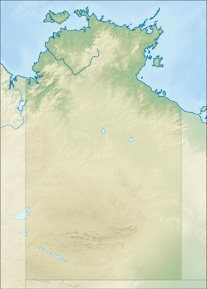 Location of the Dry River mouth in the Northern Territory | |
| Location | |
| Country | Australia |
| Territory | Northern Territory |
| Region | Katherine Region |
| Physical characteristics | |
| Source | |
| • location | Tinker Hill, Sturt Plateau, Australia |
| • elevation | 206 m (676 ft) |
| Mouth | |
• location | King River, Australia |
• coordinates | 14°53′40″S 132°24′9″E |
• elevation | 128 m (420 ft) |
| Length | 271 km (168 mi) |
| Basin size | 3,000 km2 (1,200 sq mi) |
| Basin features | |
| River system | King River |
| [1] | |
The headwaters of the river rise under Tinker Hill in the Fitzgerald Range just north of Birrimba Station homestead. The river floes in a north easterly direction moving across the mostly uninhabited plains through Dry River Station and then discharges into the King River, of which it is a tributary, and eventually flows into the Timor Sea.
The only tributary of the Dry River is Forrest Creekk.[1]
The river's catchment covers an area of 3,000 square kilometres (1,158 sq mi).[2] The eastern parts of the catchment are bounded by the Sturt Plateau. Upper parts of the river have been described as weakly developed.[3]
Western Creek was once a major tributary of the Dry River but it now flows into Elsey Creek.[3] There are a number of waterholes which are permanent on the black soil plains of the river.[3]
References
- "Map of Dry River, NT". Bonzle Digital Atlas of Australia. Retrieved 25 May 2015.
- K. J. Day and B. A. Forster (1978). "Land systems of the Dry River area, Northern Territory". Territory Parks and Wildlife Commission. hdl:10070/227940. Cite journal requires
|journal=(help) - Des Yin Foo (June 2002). "Water Resources of the Sturt Plateau region, overview report". Department of Infrastructure, Planning and Environment. hdl:10070/229643. Cite journal requires
|journal=(help)
River systems and rivers of the Northern Territory, Australia | |
|---|---|
| Floodplains | |
| Rivers |
|
| |