Dettingen (Rottenburg)
Dettingen is a suburban district of Rottenburg am Neckar in the administrative district of Tübingen in Baden-Württemberg (Germany).
Dettingen | |
|---|---|
Suburb of Rottenburg am Neckar | |
 Coat of arms | |
Location of Dettingen (Rottenburg) %26groups%3D_bf513b17228f78b6d0aff2f69c0be1c356edc1eb.svg)
| |
 Dettingen 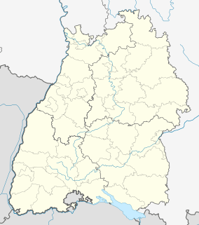 Dettingen | |
| Coordinates: 48°26′12″N 08°56′06″E | |
| Country | Germany |
| State | Baden-Württemberg |
| Admin. region | Tübingen |
| District | Tübingen |
| Town | Rottenburg am Neckar |
| Government | |
| • Local representative | Hubert Walz |
| Area | |
| • Total | 9.62 km2 (3.71 sq mi) |
| Highest elevation | 558 m (1,831 ft) |
| Lowest elevation | 386 m (1,266 ft) |
| Population (2008-01-31) | |
| • Total | 1,783 |
| • Density | 190/km2 (480/sq mi) |
| Time zone | CET/CEST (UTC+1/+2) |
| Postal codes | 72108 |
| Dialling codes | (+49) 07472 |
| Vehicle registration | TÜ |
| Website | www.rottenburg.de |
Geography
Dettingen is located 6 km (3.73 mi) southern from Rottenburg am Neckar, on the Gäu-Plateau with an elevation from 386 to 558 m.
Extent
The area of the district is 962 hectares.
Population
Dettingen has a population of 1783 people (31/01/08). It is the fourth largest district of Rottenburg. At an area of 9.62 km² (3.7 sq mi) this corresponds to a population density of 185 people per km², or 480 per sq mi.
Faiths
The population of the village is predominantly Roman Catholic.
External links
Suburban districts of Rottenburg am Neckar | ||
|---|---|---|
Coat of arms of Rottenburg am Neckar | ||
This article is issued from Wikipedia. The text is licensed under Creative Commons - Attribution - Sharealike. Additional terms may apply for the media files.