Daymark
A daymark or a day marker is the daytime identifier (attached signboard) of an aid to navigation (ATON) or day beacon.[1]

Daymark on St Martin's, Isles of Scilly
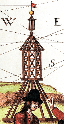
Scharhörn daymark as an illustration on a 1721 map
Generally, the daymark conveys to the mariner during daylight hours the same significance as does the aid's light or reflector at night.[2]
Daymark chart symbols
| Paper chart | Simplified | Simplified symbol name |
|---|---|---|
 |
 |
Square or rectangular daymark |
 |
 |
Triangular daymark, point up |
 |
 |
Triangular daymark, point down |
| Retro reflector |
Examples
In 1864, the Dart Harbour Commissioners erected a daymark at Froward Point near Kingswear in Devon. Often mistaken for a folly it is 80 ft high, octagonal, hollow, tapers gradually from the base to the top, has no roof and no staircase. The base has eight 30ft high pointed arches.[4]
See also
| Look up daymark in Wiktionary, the free dictionary. |
| Wikimedia Commons has media related to Daymarks. |
| Types |
| _-_cropped.jpg) | ||||
|---|---|---|---|---|---|---|
| Fixtures | ||||||
| Maintenance | ||||||
| Locations | ||||||
| Categories |
| |||||
| Global organizations | ||||||
| ||||||
| Authority control |
|
|---|
References
- "Nautical Terms for boating and marine industry terminology". www.marineinstitute.org. Archived from the original on 2003-12-17. Retrieved 2017-03-08.
- Light List, Volume II, Atlantic Coast. Washington, DC: US Government Printing Office. 2015. pp. ix.
- US Chart No. 1: Symbols, Abbreviations and Terms used on Paper and Electronic Navigational Charts. Department of Commerce National Oceanic and Atmospheric Administration Department of Defense National Geospatial-Intelligence Agency. 2013. p. 86.
- Headly, Gwyn (1986). Follies. Johnathan Cape. p. 19. ISBN 9780224027908.
This article is issued from Wikipedia. The text is licensed under Creative Commons - Attribution - Sharealike. Additional terms may apply for the media files.