Daniels Pass
Daniels Pass (elevation 8,020 feet [2,440 m])[1][2][3] is a high mountain pass in Wasatch County, Utah traversed by U.S. Route 40. It is the summit of Daniels Canyon on the road between Heber and Strawberry Reservoir. The pass is located within the Uinta National Forest and just inside the Uintah and Ouray Indian Reservation.[4]
| Daniels Pass | |
|---|---|
| Strawberry Daniels Pass[1] | |
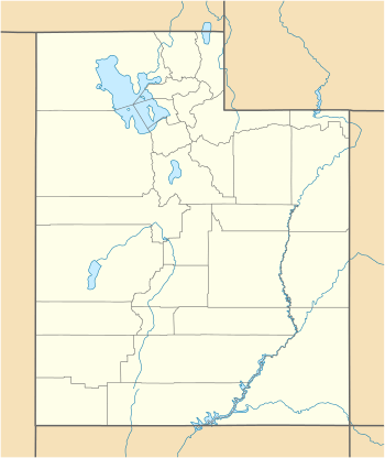 Daniels Pass Location of Daniel's Pass within the State of Utah | |
| Elevation | 8,020 ft (2,444 m) |
| Traversed by | |
| Location | Wasatch County, Utah United States |
| Range | Uinta Mountains |
| Coordinates | 40°17′50″N 111°15′08″W |
References
- U.S. Geological Survey Geographic Names Information System: Daniels Pass
- Google (3 Dec 2016). "Daniel's Pass, Utah" (Map). Google Maps. Google. Retrieved 3 Dec 2016.
- Google (3 Dec 2016). "US-40 Wallsburg, Utah (Street View)" (Map). Google Maps. Google. Retrieved 3 Dec 2016.
- MyTopo Maps - Daniels Pass, Duchesne County, UT, United States (Map). Trimble Navigation, Ltd. Retrieved 3 Dec 2016.
This article is issued from Wikipedia. The text is licensed under Creative Commons - Attribution - Sharealike. Additional terms may apply for the media files.