Danané
Danané is a city in the far west of Ivory Coast. It is a sub-prefecture of and the seat of Danané Department in Tonkpi Region, Montagnes District. Danané is also a commune. The city is 25 kilometres east of the border with Liberia, 30 kilometres south of the border with Guinea, and 45 kilometres southwest of the Guinea–Ivory Coast–Liberia tripoint.
Danané | |
|---|---|
City, sub-prefecture, and commune | |
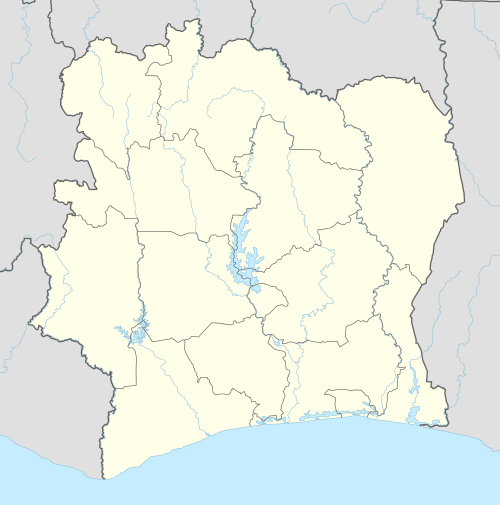 Danané Location in Ivory Coast | |
| Coordinates: 7°16′N 8°10′W | |
| Country | |
| District | Montagnes |
| Region | Tonkpi |
| Department | Danané |
| Population (2014)[1] | |
| • Total | 104,672 |
| Time zone | UTC+0 (GMT) |
Because Danané is close to the Guinean and Liberian borders, it became a destination for refugees during the Liberian Civil War. By the end of 1999, the town of Danané had overgrown its boundaries and swallowed up a number of small villages around it. Many Liberians who were resettled around the world resided in Danané for a period of time.
In 2014, the population of the sub-prefecture of Danané was 104,672 [2].
Villages
The fifty four villages of the sub-prefecture of Danané and their population in 2014 are [2]:
- Blizreu (531)
- Bouagleu (833)
- Bouleu (1 180)
- Danané (60 645)
- Déagbaloupleu (527)
- Déamangbeupleu (1 091)
- Diotouo (1 285)
- Dongouiné (1 866)
- Dougouéleu (657)
- Drongouiné (1 736)
- Ganhiba (1 135)
- Gloaleu (554)
- Gopieu (179)
- Kinneu (1 353)
- Koyatrogbeupleu (265)
- Kpakièpleu (667)
- Sogalé (750)
- Soueupleu (180)
- Tieukpolopleu (818)
- Tintouo (286)
- Trodélépleu (603)
- Trouimpleu (1 000)
- Trozandépleu (491)
- Yoleu (1 625)
- Youdépleu (485)
- Zoleu (1 099)
- Zoueupleu (449)
- Béatro (147)
- Bieupleu 2 (80)
- Bouimpleu (482)
- Déahouépleu (1 477)
- Dietta (972)
- Dohouapleu (182)
- Gahapleu (411)
- Gballeu (1 104)
- Gbangatouo (195)
- Gbéadapleu (259)
- Gbeunta (2 108)
- Goleu (722)
- Gouotro (820)
- Guiapleu (882)
- Guin-Houyé (2 434)
- Kanapleu (544)
- Kédéré (341)
- Kpanguidouopleu (447)
- Ligbeupleu (233)
- Mouatouo (603)
- Ouyaleu (85)
- Pépleu 2 (924)
- Saleupleu (769)
- Salleu (1 404)
- Sioba (1 394)
- Trokolimpleu (2 398)
- Yipleu (965)
Notes
- "Côte d'Ivoire". geohive.com. Retrieved 7 December 2015.
- "RGPH 2014, Répertoire des localités, Région Tonkpi" (PDF). ins.ci. Retrieved 5 August 2019.
Regional seat: Man | ||
| Biankouma Department |  | |
| Danané Department | ||
| Man Department | ||
| Sipilou Department | ||
| Zouan-Hounien Department | ||
* also a commune | ||