Crag Gill
Crag Gill is a Site of Special Scientific Interest in the Teesdale district in south-west County Durham, England. It lies about 3 km east of the village of Eggleston, just off the B6282 road, which separates it from the Bollihope, Pikestone, Eggleston and Woodland Fells SSSI to the north.
| Crag Gill | |
|---|---|
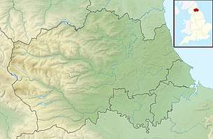 Location of Crag Gill SSSI, Co Durham | |
| Location | Teesdale, North East, England |
| Coordinates | 54°36′26″N 1°57′38″W |
| Area | 2.3 ha (5.7 acres) |
| Established | 1984 |
| Governing body | Natural England |
| Website | Map of site |
Crag Gill consists of an exposure of late Namurian limestones, sandstones and shales that form a Yoredale-type sequence. The exposure is the type locality of the Whitestone limestone, a marker horizon for Namurian stratigraphy.[1]
References
- "Crag Gill" (PDF). English Nature. 1984. Retrieved 19 July 2010.
This article is issued from Wikipedia. The text is licensed under Creative Commons - Attribution - Sharealike. Additional terms may apply for the media files.