Clarence River (Alaska–Yukon)
Clarence River is a 50-mile (80 km) long river that flows through Yukon, Canada and the U.S. state of Alaska into the Beaufort Sea.
| Clarence River | |
|---|---|
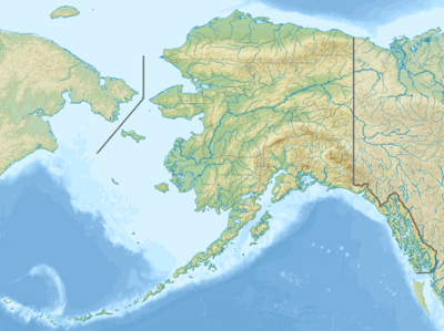 Location of the mouth of the Clarence River in Alaska | |
| Location | |
| Countries |
|
| Territory/State |
|
| Physical characteristics | |
| Source | |
| ⁃ coordinates | 69°29′58″N 141°11′59″W |
| Mouth | Beaufort Sea |
⁃ location | Clarence Lagoon |
⁃ coordinates | 69°37′00″N 140°52′00″W |
⁃ elevation | 0 ft (0 m) |
| Length | 50 mi (80 km) |
| [1] | |
Course
The Clarence River rises southwest of Mount Paige in Yukon, Canada, and flows northwest and northeast, crossing the border several times into the North Slope Borough of Alaska. It empties into Clarence Lagoon and finally the Beaufort Sea in the Arctic Ocean.[1]
History
The river was surveyed in 1826 by British explorer John Franklin as the westernmost river in the then-British territories on the Arctic coast near the line of demarcation with Russia. Franklin named the river Clarence in honor of Lord High Admiral Prince William, Duke of Clarence and St Andrews.[1][2]
Notes
Clarence Lagoon is the northwestern-most point of the Yukon Territory, and also of continental Canada.
References
- U.S. Geological Survey Geographic Names Information System: Clarence River. Retrieved on 2008-08-07.
- Franklin, John (1828). Narrative of a Second Expedition to the Shores of the Polar Seas. Philadelphia: Carey, Lea and Carey. p. 125. OCLC 10857574.