Choctaw, Louisiana
Choctaw is an unincorporated community and census-designated place in Lafourche Parish, Louisiana, United States. Its population was 879 as of the 2010 census.[1]
Choctaw, Louisiana | |
|---|---|
 Choctaw  Choctaw | |
| Coordinates: 29°50′21″N 90°41′27″W | |
| Country | United States |
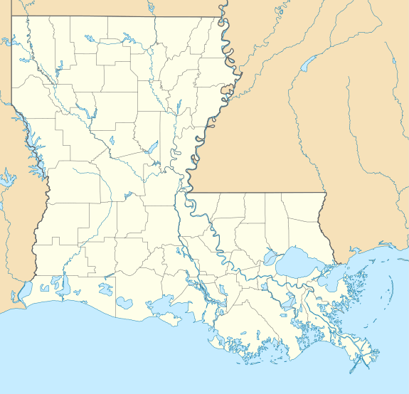
| State | Louisiana |
| Parish | Lafourche |
| Area | |
| • Total | 6.318 sq mi (16.36 km2) |
| • Land | 6.318 sq mi (16.36 km2) |
| • Water | 0 sq mi (0 km2) |
| Elevation | 3 ft (0.9 m) |
| Population | |
| • Total | 879 |
| • Density | 140/sq mi (54/km2) |
| Time zone | UTC-6 (Central (CST)) |
| • Summer (DST) | UTC-5 (CDT) |
| Area code(s) | 985 |
| GNIS feature ID | 557805[2] |
Geography
According to the U.S. Census Bureau, the community has an area of 6.318 square miles (16.36 km2), all land[1]
Education
Choctaw is within Lafourche Parish Public Schools and served by Bayou Boeuf Elementary School, Sixth Ward Middle School, and Thibodaux High School.[3][4]
References
- "2010 Census Gazetteer Files - Places: Louisiana". U.S. Census Bureau. Retrieved January 16, 2017.
- "Choctaw". Geographic Names Information System. United States Geological Survey.
- "SCHOOL ATTENDANCE BOUNDARIES." Lafourche Parish Public Schools. Retrieved on December 2, 2016. Based on the text description of the school boundaries: "Bayou Boeuf Elementary School, grades Pre K – 5 [...] and all of Highway 307 and Choctaw Road on the east side of Sixth Ward Middle School."
- "2010 CENSUS - CENSUS BLOCK MAP: Choctaw CDP, LA." U.S. Census Bureau. Retrieved on February 7, 2018.
Municipalities and communities of Lafourche Parish, Louisiana, United States | ||
|---|---|---|
Parish seat: Thibodaux | ||
| City | 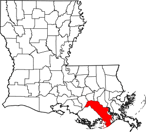 | |
| Towns | ||
| CDPs | ||
| Other Unincorporated communities | ||
| Footnotes | ‡This populated place also has portions in an adjacent parish or parishes | |
This article is issued from Wikipedia. The text is licensed under Creative Commons - Attribution - Sharealike. Additional terms may apply for the media files.