Chhagalnaiya
Chhagalnaiya(Bengali: ছাগলনাইয়া) is a town in Feni district of Chittagong Division, Bangladesh. The town is the administrative headquarter and urban centre of Chhagalnaiya Upazila.The urban area of Chhagalnaiya is the biggest in Chhagalnaiya Upazila and 2nd most populous in Feni district. Chhagalnaiya is 14.6 km away[2] from the district headquarter Feni city while the distance from Divisional Headquarter Chittagong is 96.6 km[3]. The nearest airport from Chhagalnaiya town is Shah Amanat International Airport.
Chhagalnaiya ছাগলনাইয়া | |
|---|---|
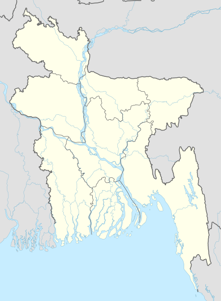
 Chhagalnaiya location of Chhagalnaiya town in Bangladesh | |
| Coordinates: 23.039483°N 91.514628°E | |
| Country | |
| Division | Chittagong |
| District | Feni |
| Upazila | Chhagalnaiya |
| Upazila headquarter | 1 October 1983 |
| Municipality | 3 June 2002 |
| Government | |
| • Type | Mayor–Council |
| • Body | Chhagalnaiya Municipality |
| • Paura Mayor | Mohammad Mostafa[1] |
| Area | |
| • Total | 25.3 km2 (9.8 sq mi) |
| Population (2011) | |
| • Total | 48,243 |
| • Density | 1,900/km2 (4,900/sq mi) |
| Time zone | UTC+6 (Bangladesh Time) |
| National Dialing Code | +880 |
History
There is a popular tale about the name of this town. Mahatma Gandhi once visited Noakhali region. In that time Chhagalnaiya was a part of that region. Mahatma Gandhi came to ease communal tension of this area, along with his constant companion on tours, a goat (chhagal in Bangla) and his goat was stolen. Probably from this incident the town got its name. But it is now believed that Chhagalnaiya is actually a derivative of sagarnaiya or sea-sailor as many people from this region used to go to the sea to earn their bread.
Climate
| ||||||||||||||||||||||||||||||||||||||||||||||||||||||||||||||||||||||||||||||||||||||||||||||||||||||||||||||||||||||||||||
Geography
Chhagalnaiya is located at 23.0361°N 91.5194°E. It has an average elevation of 8 metres.
Demography
According to 2011 Bangladesh census, Chhgalnaiya town has a population of about 48,243 of which 23,857 are male and 24,386 are female. [5]
Administration
The towns is administrated by a local governing body called Chhagalnaiya Municipality or Chhagalnaiya Paurashava which has divided the town into 9 wards. The town occupies an area of 27.04 km2 of which municipality governs an area of 25.2 5 km2.
Transport and communications
Education
The literacy rate of the town is 62.7%. Some of the notable educational institution of the town are:
- Chhagalnaiya govt. college
- Chhagalnaiya academy
Media
See also
References
- "Mayor of Chhagalnaiya Paurashava". News24.com. Retrieved 2020-03-16.
- "Distance from Feni to Chhagalnaiya". distancesto.com. Retrieved 2020-03-16.
- "Distance from Chittagong to Chhagalnaiya". distancesto.com. Retrieved 2020-03-16.
- "NASA Earth Observations: Land Cover Classification". NASA/MODIS.
- "Chapter:5,Urban Centers in Bangladesh". Population & Housing Census-2011 (PDF) (Report). National report. 3. Bangladesh Bureau of Statistics. p. 192. ISBN 978-984-519-036-7. Retrieved 2019-12-01.