Chang'an District, Xi'an
Chang'an District (simplified Chinese: 长安区; traditional Chinese: 長安區; pinyin: Cháng'ān Qū; lit.: 'long peace') is one of 11 urban districts of the prefecture-level city of Xi'an, the capital of Shaanxi Province, Northwest China, while it is also the second most-populous.[2] The district borders the prefecture-level cities of Shangluo to the southeast and Ankang to the southwest, Weiyang and Yanta Districts to the north, Baqiao District to the northeast, Lantian County to the east, and Huyi District to the west.
Chang'an 长安区 | |||||||||||||||||||||||||||||||||||
|---|---|---|---|---|---|---|---|---|---|---|---|---|---|---|---|---|---|---|---|---|---|---|---|---|---|---|---|---|---|---|---|---|---|---|---|
| Coordinates: 34°09′52″N 108°57′01″E[1] | |||||||||||||||||||||||||||||||||||
| Country | People's Republic of China | ||||||||||||||||||||||||||||||||||
| Province | Shaanxi | ||||||||||||||||||||||||||||||||||
| Sub-provincial city | Xi'an | ||||||||||||||||||||||||||||||||||
| Area | |||||||||||||||||||||||||||||||||||
| • Total | 1,588.53 km2 (613.33 sq mi) | ||||||||||||||||||||||||||||||||||
| Population (2010)[2] | |||||||||||||||||||||||||||||||||||
| • Total | 1,083,285 | ||||||||||||||||||||||||||||||||||
| • Density | 681.94/km2 (1,766.2/sq mi) | ||||||||||||||||||||||||||||||||||
| Time zone | UTC+8 (China Standard) | ||||||||||||||||||||||||||||||||||
| Postal code | 7101XX | ||||||||||||||||||||||||||||||||||
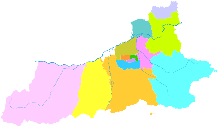
| Xi'an district map |
| ||||||||||||||||||||||||||||||||||
References
- Google (2014-07-02). "Chang'an" (Map). Google Maps. Google. Retrieved 2014-07-02.
- "西安市2010年第六次全国人口普查主要数据公报" (in Chinese). Xi'an Evening News (西安晚报). 25 May 2011. Retrieved 3 July 2014.
External links
| Districts |  | |
|---|---|---|
| Counties | ||
| Landmarks | ||
| Culture | ||
| Education |
| |
| Transport |
| |
This article is issued from Wikipedia. The text is licensed under Creative Commons - Attribution - Sharealike. Additional terms may apply for the media files.