Champfleur
Champfleur is a commune in the Sarthe department in the region of Pays-de-la-Loire in north-western France.
Champfleur | |
|---|---|
 The bath house of the convent of the Franciscan Sisters | |
Location of Champfleur 
| |
 Champfleur 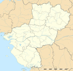 Champfleur | |
| Coordinates: 48°23′10″N 0°07′40″E | |
| Country | France |
| Region | Pays de la Loire |
| Department | Sarthe |
| Arrondissement | Mamers |
| Canton | Mamers |
| Intercommunality | Communauté urbaine d'Alençon |
| Government | |
| • Mayor (2008–2014) | François Hanoy |
| Area 1 | 13.14 km2 (5.07 sq mi) |
| Population (2017-01-01)[1] | 1,358 |
| • Density | 100/km2 (270/sq mi) |
| Demonym(s) | Champflorains |
| Time zone | UTC+01:00 (CET) |
| • Summer (DST) | UTC+02:00 (CEST) |
| INSEE/Postal code | 72056 /72610 |
| Elevation | 114–197 m (374–646 ft) (avg. 146 m or 479 ft) |
| 1 French Land Register data, which excludes lakes, ponds, glaciers > 1 km2 (0.386 sq mi or 247 acres) and river estuaries. | |
See also
References
- "Populations légales 2017". INSEE. Retrieved 6 January 2020.
| Wikimedia Commons has media related to Champfleur. |
| Authority control |
|
|---|
This article is issued from Wikipedia. The text is licensed under Creative Commons - Attribution - Sharealike. Additional terms may apply for the media files.